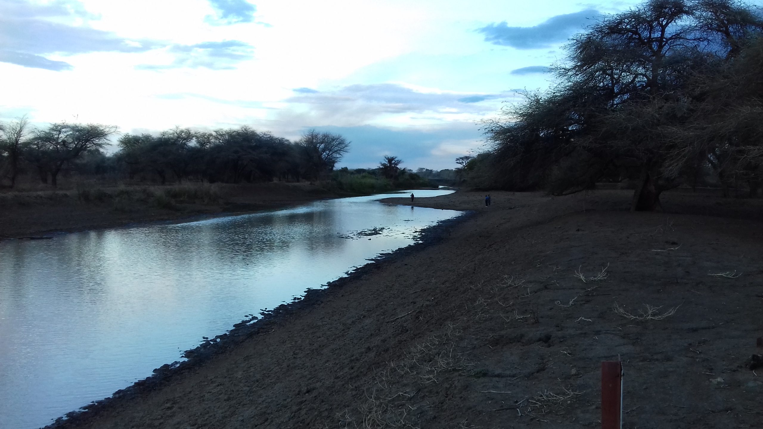
The Great Ruaha with zero flow at Nyaluhanga Gauge Station on December 17, 2016. The Bend in the river suggests continuous flow. The Landscape 8 satellite image on December 16, 2016 shows an exposed riverbed some 7.4 km downstream.
The Great Ruaha with zero flow at Nyaluhanga Gauge Station on December 17, 2016. The Bend in the river suggests continuous flow. The Landscape 8 satellite image on December 16, 2016 shows an exposed riverbed some 7.4 km downstream.