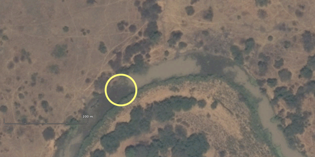
The same River section as in the previous Landsat 8 image some 2 month later with expanded exposed riverbed on November 15, 2013. The yellow circle indicates the first exposure of zero-flow on September 19, 2013.(see Landsat-8 image)

The same River section as in the previous Landsat 8 image some 2 month later with expanded exposed riverbed on November 15, 2013. The yellow circle indicates the first exposure of zero-flow on September 19, 2013.(see Landsat-8 image)