Suspected Zero Flow Mbarali December 4, 2022
MENU
The newest post and image entries are on top of the page. Scroll from the bottom upwards to follow the flow status timeline of the Ruaha River per location
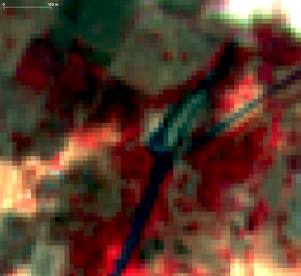
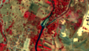
While images with cloud covers blocked the view and suggest rains, the images below downstream (3.3km) of the New NAFCO Headworks at Mbarali suggest zero flow on December 4, 2022. With a resolution of 5m/px flow may still be present without sentinel able to capture the near to zero flow.
Usangu Drainage Contribution Mbarali ceased
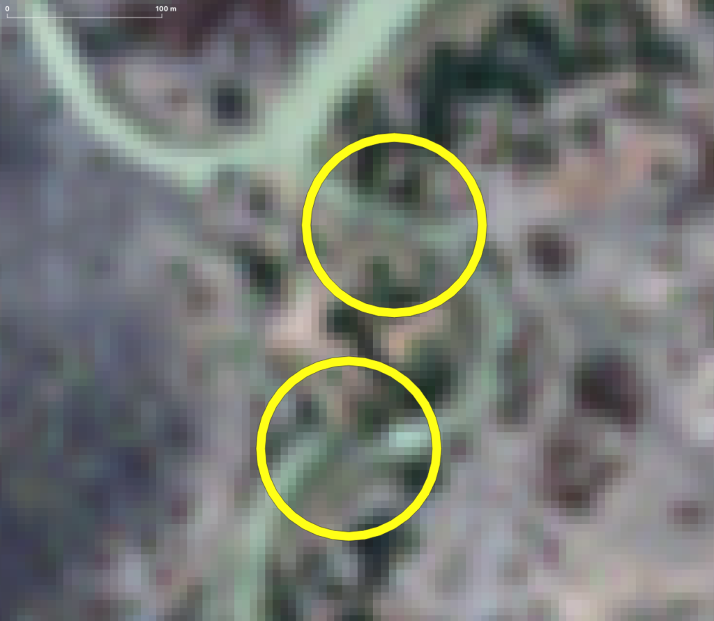
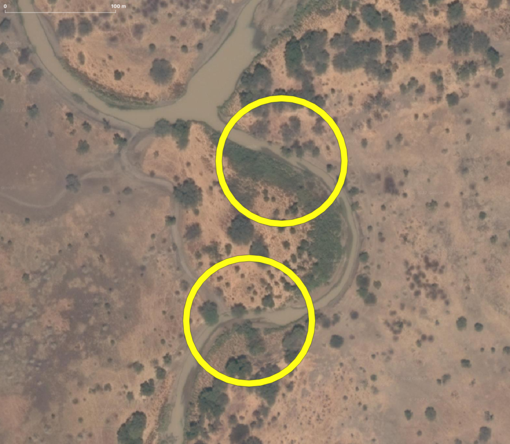
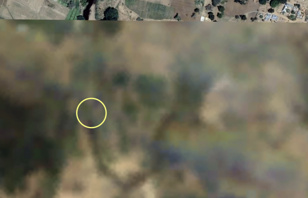
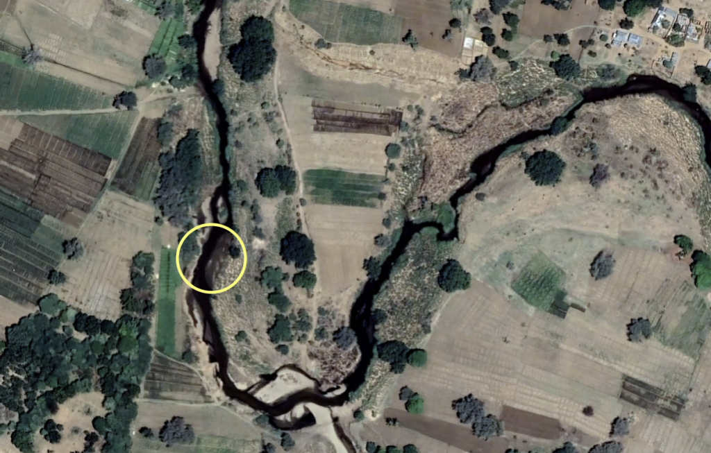
At the confluence of the Ruaha River and the Mbarali River in the Ruaha National Park, the drainage from the Mbarali River has ceased. You can compare the 10m/px sentinel image of September 3, 2022 with the high resolution image of November 15, 2011 where you can find the exposed sediments of the riverbed inside of the yellow circles.
Contribution Mbarali River to Drainage Usangu almost Nil
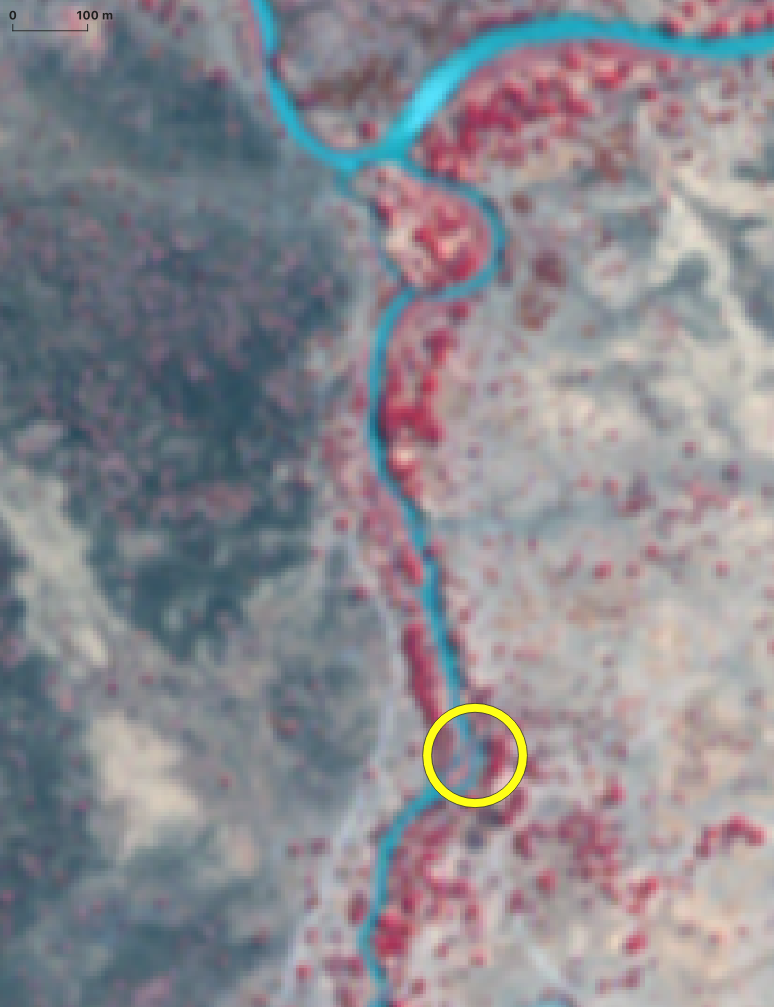
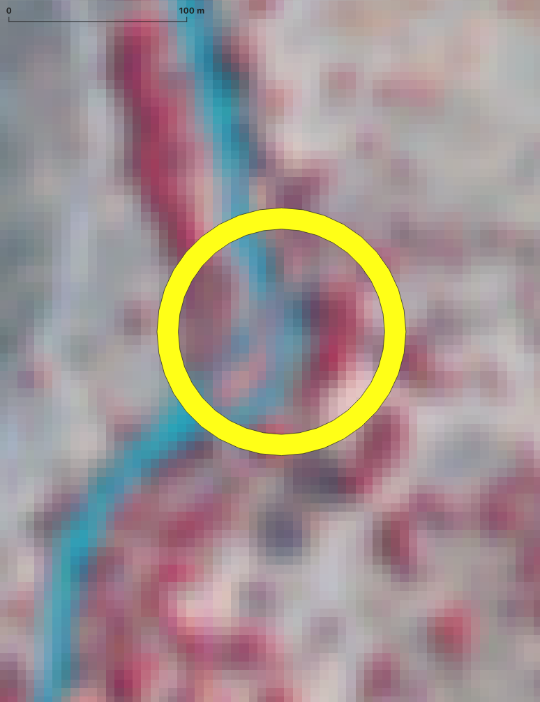
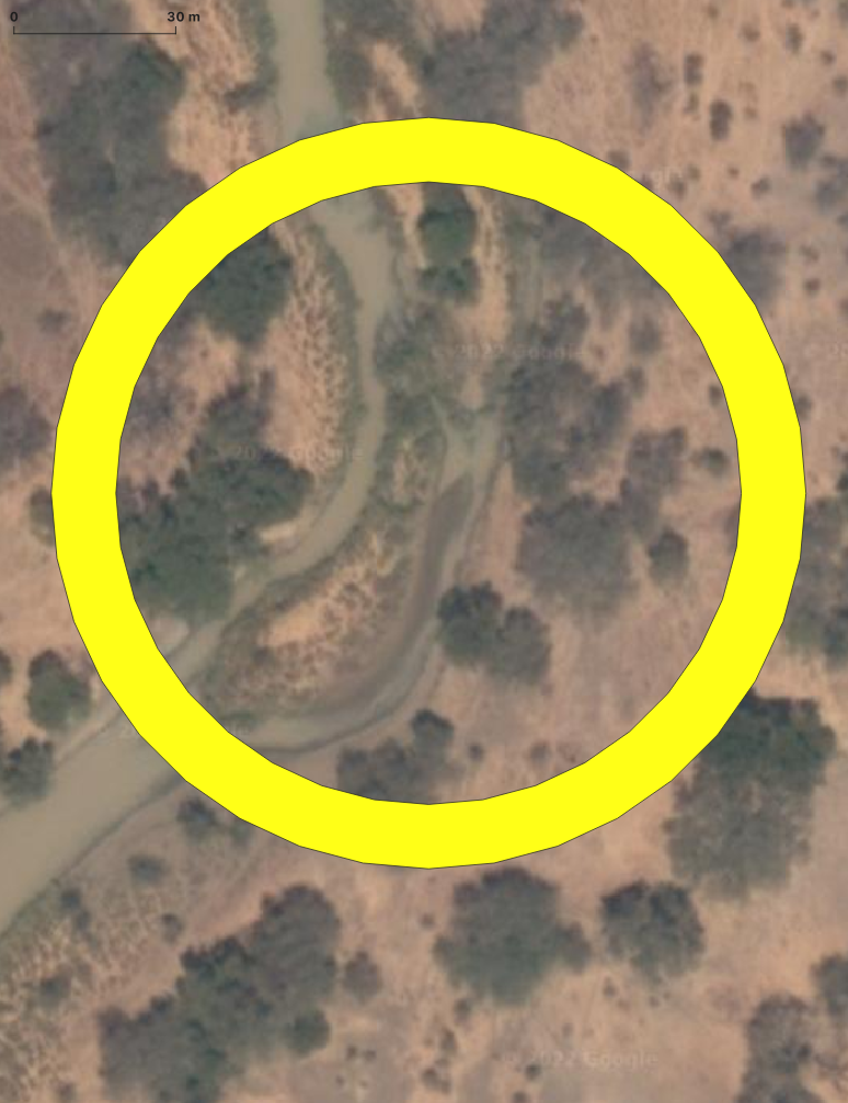
Overflow at New NAFCO Mbarali zero to near zero August 19, 2022
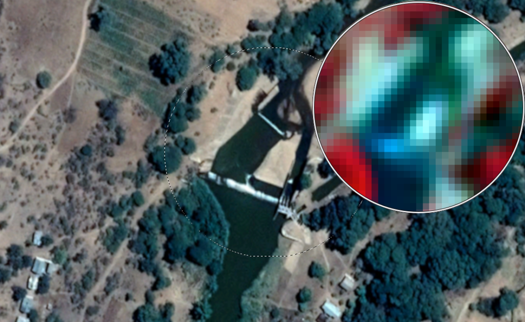
For the analysis of the near infrared image (5m/px) at New NAFCO weir visit this link.

Overflow Status Mabarali New NAFCO Weir August 2022
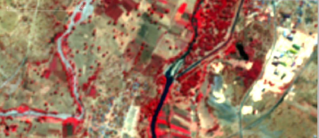
The Estimated Flow in the Mbarali on August 6 2022, is more than 2 cumecs, based on the RS analysis. Two cumecs is the assumed minimum diversion flow to the Mbarali Hydro-Power Station, Town and Irrigation Scheme. The remainder of the flow in the Mbarali river is the overflow over the weir. The return canal is also holding water (see image) and 1 cumecs is the regulatory discharge in the drain to be returned to the Mbarali main channel. The discharge cannot be verified remotely by the Ruaha Monitor Tool. The absence of return flow and approximate full drain can be assessed remotely during the low flow period in Mbarali River. For details about the remote assessment visit the related page.

Flow Status Mabarali New NAFCO July 2022
End of July the overflow at the weir in the Mbarali River at the new NAFCO intake still exceeds an estimated 2cumecs. The overflow is reflected by the turbulent whitish overflow section of the weir.
