Zero Flow Series
Ruaha River Mtera Subcatchment38 (Map 1)
MENU
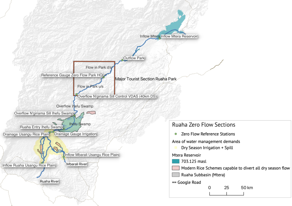
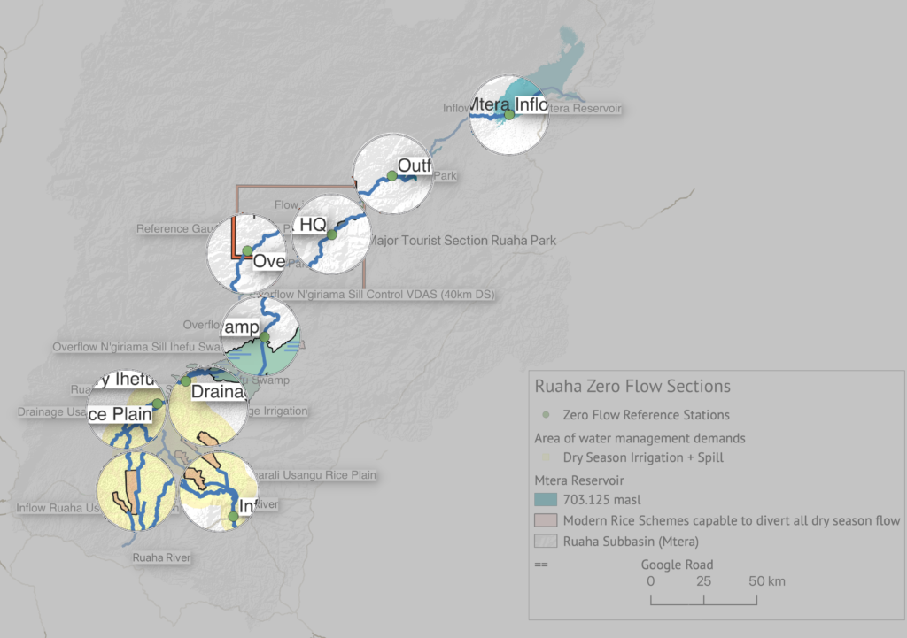
The approximately 477km long section of the Great Ruaha River from the source to the Mtera Dam (Map 1.) experiences an annual cycle of zero flow events, monitored on this website. For the monitoring and prediction of the zero flow events in the Ruaha National Park (Park Headquarter) seven focus areas are selected. Three stations are hydrometric stations of the Ministry of Water and four stations are Virtual Drainage Assessment Stations (VDAS). Remote sensing is not restricted to a fixed location for assessment of the flow status of the river. This means that in the case clouds block the VDAS river section, an alternative location immediately upstream or downstream and clear of clouds, can be used to monitor the flow status.
The diversion for dry season irrigation outside of the rice irrigation period and spill which are responsible for the early occurrence and the duration of the zero flow periods in the Ruaha River in the National Park is also monitored and can assist the water management authority to implement effective measures for prevention or reduction of zero flow. The table below lists the sections of the Ruaha River Mtera Subcatchment.
Typical Low Flow Periods are selected for more details like in 2021 with a “normal” pattern of recession progressing from downstream (Mtera) to upstream (Confluence Ruaha with Mbarali). An atypical drying sequence which occured in 2020 probably with significant drainage from the Ihefu swamp, possibly combined with some local storms, when zero drainage from the Usangu Rice Plain occurs without zero drainage at the Park HQ or if occuring just a few days.
RS Analysis Drainage Flow Usangu Rice Plain
| Label | Monitor Station/ River section | Analysis Section | Est. Channel Length from source (km) |
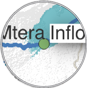 | Mtera Reservoir | First Dry Season Zero Flow Event for timing of Alert 1 (one month before predicted ZF) and Alert 2 (ZF Mtera) | 476 |
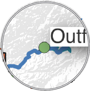 | Outflow Park | 343 | |
 | Zero Flow at Msembe (National Park Headquarter) | 297 | |
 | Zero Overflow 40km downstream of N’giriama | 241 | |
 | Zero Overflow N’giriama | 198 | |
 | Zero Drainage Section | 128 – 172 | |
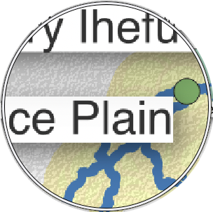 | Confluence Ruaha and Mbarali Rivers | 121 |
| Label | Monitor Station/ River section | Analysis Section | Est. Channel Length from source (km) |
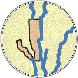 | Kapunga Rice Scheme Irrigation | December 17, 2021 | |
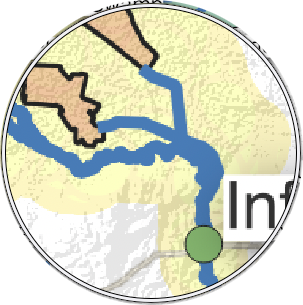 | New NAFCO Headworks diverts all low flow Mbarali | December 17, 2021 |