Alert 3, Sep 27, 2024
MENU
Ruaha River Flow Monitor Tool (Remote Sensing) Flow Status Today: 15 Days of Zero Flow at Park HQ in 2024
The newest post and image entries are on top of the page. Scroll from the bottom upwards to follow the flow status timeline of the Ruaha River per location
Alert 3 possibly reached before Alert2 in 2024
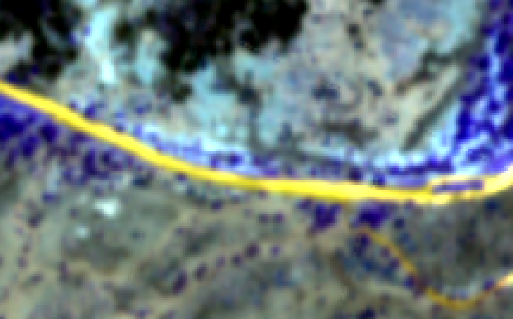
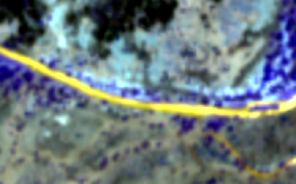
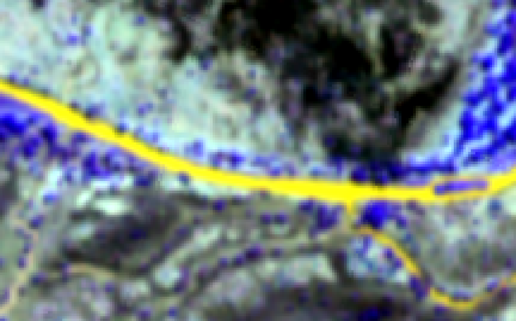
To specify the start of the Alert 3 phase is less precise as Alert 2. The drying of branch canal of the Ruaha River at Nyaluhanga (Alert 3). The date of September 27, 2024 is like the flow indication of less than 8cumecs arbitrary. What is interesting is the fact that the period between Alert 2 and Alert 3 is almost zero days. Which has not yet occured so far. The reason could be an alarming drop in discharge from low flow in the Mbarali and Ruaha Rivers, or increased abstraction during the low flow season. The dryness of Usangu Rice Plain in 2024 was already noticed and seems to be related to the early arrival of the Alert 3 Phase. Below the Ruaha flow status at Nyaluhanga as drainage from the Usangu for the last Alert 3 stages are compared. (Click to enlarge images)
Alert 2 announced on September 24, 2024
As the Ruaha Flow stopped at the VDAS section at Mtera according to the September 24 Sentinel 2 image, that dat is adopted for Alert 2 in 2024. Interestingly the Alert 1 threshold value (see posts below) of 0.012km2 performed better than the visual inspection. The water area of the Ruaha at the Alert 1 section dropped between August 20 and August 25 under the 0,012 km2 value one month before Alert 2 as required.
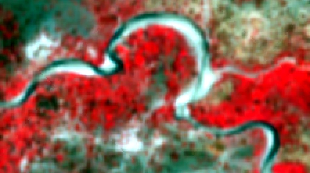
Threshold Evaluation Alert One
Between August 20, and August 25, 2024 the threshold value (0.008km2) dropped under the proposed value of 0.012km2. On August 30, 2024 the threshold is 0.010km2 showing the inaccuracy of the water area estimate assuming absence of rain and continuous decline of flow. The potential of the threshold value becomes of interest if zero flow (Alert Two) occurs between September 25 and September 30, 2024.
Stable area with river water on August 20, 2024
The area with water calculated with Google Earth Engine script on August 20, 2024 is 0.146km2.
Alert One Announced August 15, 2024
The water area (0.0144km2) of the Alert One section of the Ruaha River has dropped close to the threshold value 0,012km2. It is expected to be reached before the new images on August 20, 2024 will be available. Compare the flow status (NDWI 5m resolution) of the Ruaha River at Mtera on June 17, 2022 four days after Alert One in 2022.
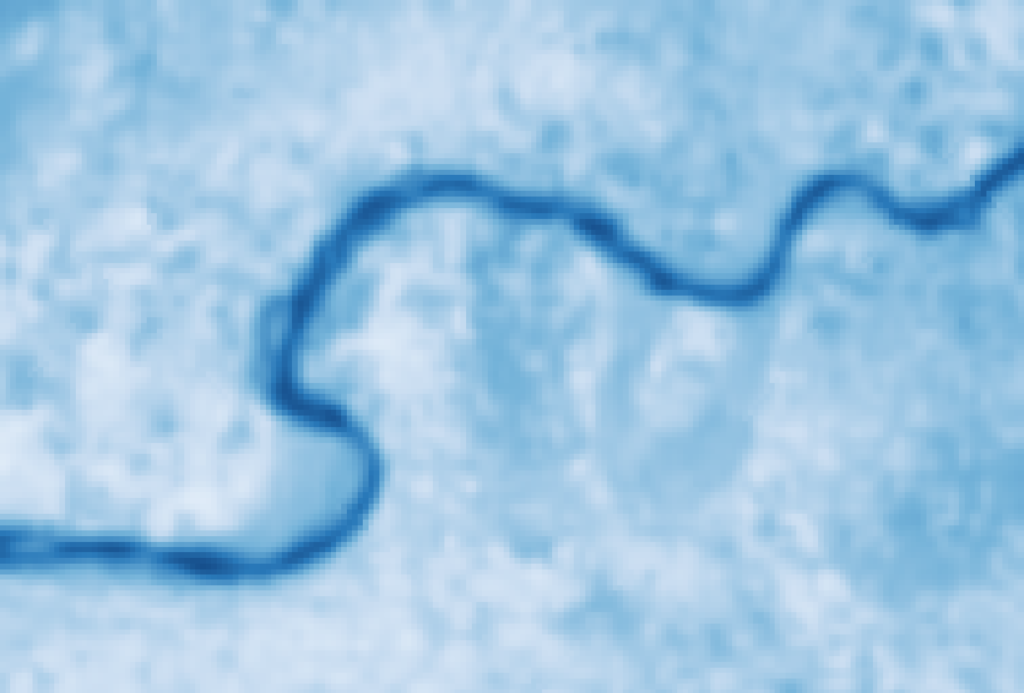
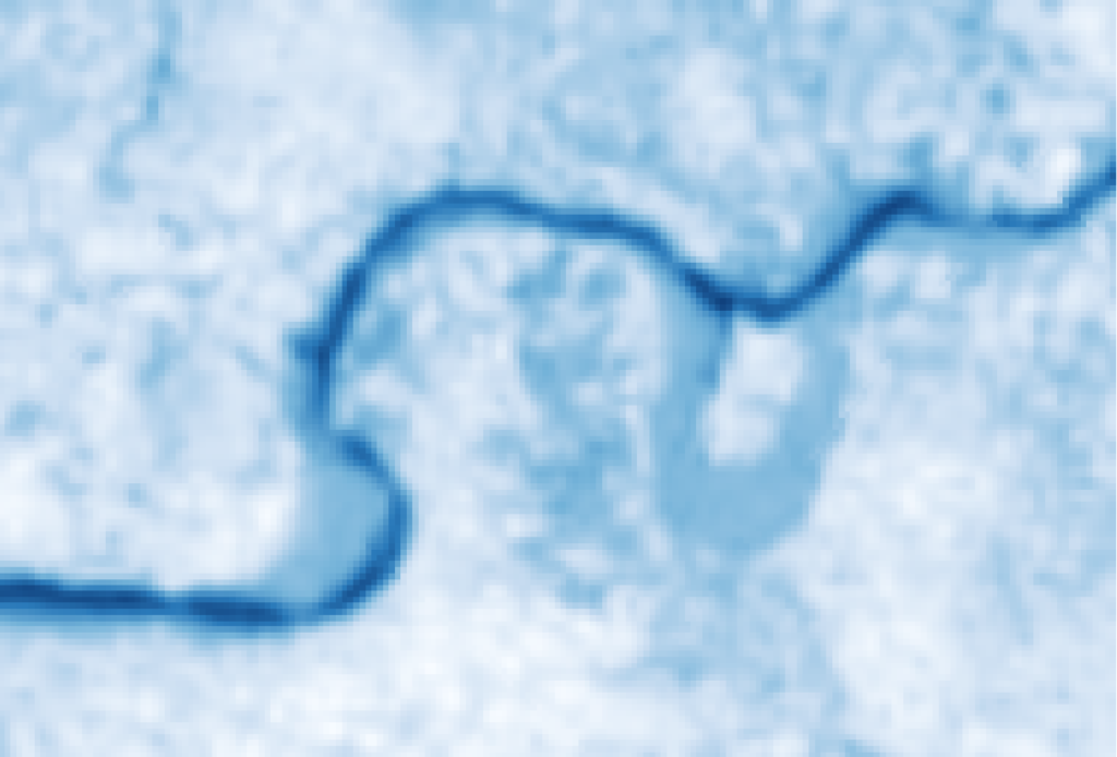
The visual inspection of the Ruaha River Flow Status using false color sentinel-2 images with 5m pixels of the same section and dates at Mtera . (Click to Enlarge Image)

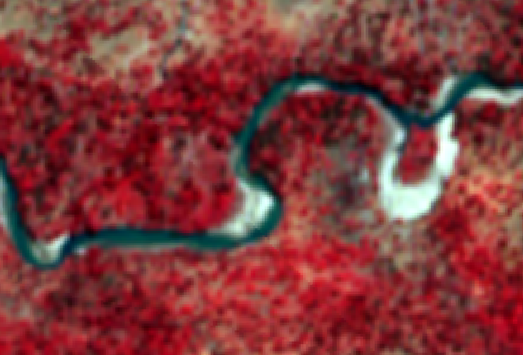
August 10, 2024 flow reduction Ruaha at Mtera
River Flow visually reducing on August 10, 2024 but still not at the critical stage of Alert One (see image June 12, 2022). This is confirmed by the calculated (Google Earth Engine) reduction of water area on the image which has dropped to 0,020km2


August 5, 2024 no clear reduction flow Ruaha (Mtera)
The flow at Mtera (Alert1 VDAS) is still well above the Alert One flow of 2022 (false color on the right) concluding from visually inspection. (click image to enlarge). Also the NDWI water area is calculated at 0.022km2 see post below and does not yet meet the assumed threshold value in with 0.012km2.
The predicted Alert Two or zero flow at Mtera (August 18, 2024), is now expected for mid – September 2024.


Alert One expected between today and Monday
Based on the threshold value of 0.012km2, the Alert One phase is expected to start this week or early next week. On July 31, 2024 the calculated area of water is 0.021km2. Which reflects a reduction of the open water surface area of 25% during the last 5 days. Please check the calculation with the google earth engine javascript via the link above.
The predicted Alert One of July 18, 2024 will be at least three weeks later. In future notable delays in the occurrence of predicted critical flows (like Alert 1) will be the result of interventions by the River Basin Board.
Threshold Level NDWI and Alert One
To minimise (remote) visual monitoring, a threshold value for NDWI values for critically low flow, would be helpful. Currently a water (vs. no-water) area is investigated for the 5m resolution NDWI sample area (0,59km2). The assessed value in 2022 and 2023 at Alert one for water in the Ruaha at Mtera (Area of Interest) is 0,0124 and 0,0118km2(from July 22 and 27). The value on July 26, 2024 is 0.0273km2. Which suggests that Alert One is not yet reached.
Visual inspection of 5m resolution images on July 26, 2024 with the Alert One flow in 2022 support the threshold prediction above.

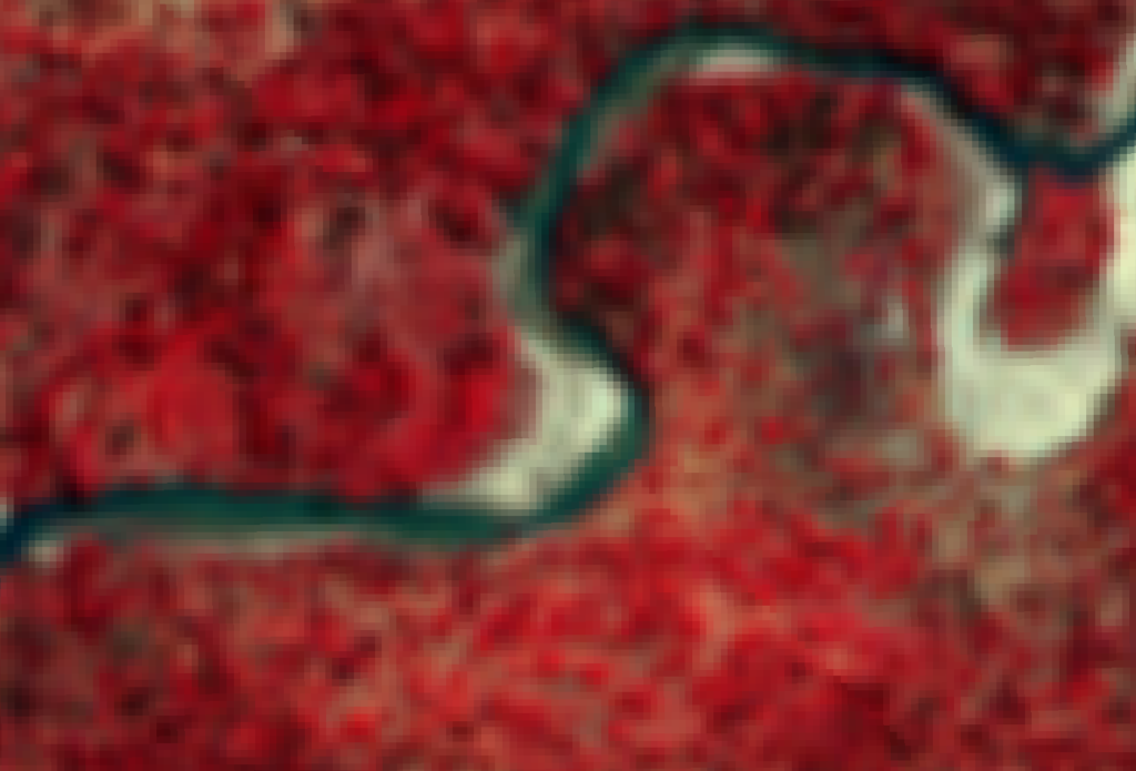
NDWI comparison low flow Mtera at Alert 1 Station (VDAS) July 17, 2024
Using the improved visualization NDWI mask suggests that still plenty of water is flowing at thhe question is, if the flaw is the result of (1) a poor prediction of the expected date of zero flow (IMERG) (2) Different procedures to create NDWI index images?
The coming days other indicators will be analysed to assess the current flow at Mtera and announce Alert One in time for the 2024 dry season.
Compare flow channel (NDWI)


Improved Visualization Mtera Low Flow Channel


Compare Flow Status Mtera at VDAS Alert One
Update on July 11, 2024, the Ruaha River starts drying in the middle of the flow channel in the river bend . (Click to enlarge image)

On July 6, 2024 further reduction flow in Ruaha at virtual flow station. Compared to Alert One flow status in 2022 (image at the right). Current flow on July 6, 2023 (left image) has not yet declined to Alert One flow level of 2022. (Click to enlarge image)

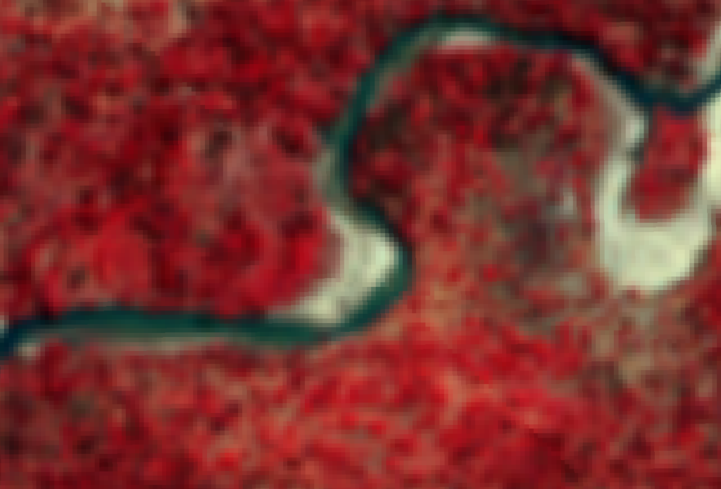
The flow in the Ruaha at Mtera is still above the Alert One flow level as is demonstrated on the 10m pixel Sentinel-2 images. (Click to enlarge image)


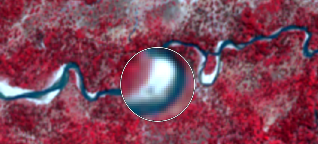
Alert One for 2024 predicted on July 18
Zero flow at Mtera (Alert Two) is predicted on August 18, 2024. This corresponds with the prediction for Alert One (one month before Alert Two observation) on July 18, 2024.