End Zero Flow Ruaha predicted January 19, 2023
MENU
The newest post and image entries are on top of the page. Scroll from the bottom upwards to follow the flow status timeline of the Ruaha River per location
Flow Ruaha River at Mtera confirmed

Considering the advance of the surface flow in the Ruaha River on January 18, 2023 (image below) the zero flow period for the river between the source and the Mtera Reservoir will end on January 19, 2023.
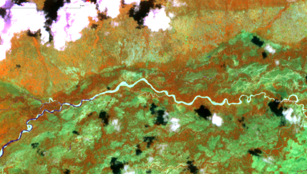
Advancing surface flow Ruaha River not yet at Mtera
With the departure of the clouds (see image below of December 29, 2022) the advance of the surface flow from the Ruaha River is located some 47.5km upstream of the Mtera Alert Two virtual remote sensing station.

On December 29, 2022 the surface flow in the Ruaha has not yet reached Mtera (20km upstream of reservoir).
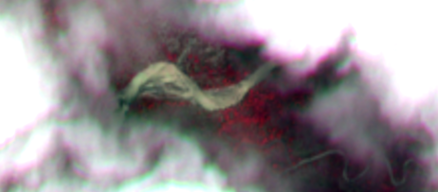
Due to the cloud cover on December 26, 2022 the advance of the surface flow front in the Ruaha River cannot be traced between Msembe Bridge and Mtera. From the Landsat 8 image it can be concluded that the zero flow period at Mtera has not yet ended.

Recession Surface Flow Ruaha some 200km from Mtera
On December 1, 2022 the surface flow in the Ruaha River as it flows out of the park has dried even upstream of the Msembe Bridge. But with the ongoing rains of November and early December 2022, the flow is expected to reach the Ruaha again at the Park HQ (Msembe Bridge) soon.

Flow Out Of Park and Mtera 2022
For conclusions on the impact of the changed flow regime of the Ruaha River on the aquatic life and other dependent species like wildlife and riverine vegetation and ultimately the impact on the communities who make use of the River, the flow monitor will assist in description and classification of the river flow, pool occurrence and duration and periods of zero flow. The handbook : “Intermittent Rivers & Ephemeral Streams: What water managers need to know” financed by the European Union considers some basic monitoring requirements for managing ecosystems impacted by a changing river regime.
It is remotely observed that with zero flow occurrence at the Park Headquarter at Msembe Bridge a (subsoil) flow is still continuing downstream of the bedrock at the bridge. This continued trickle will continue to refresh the pools in the riverbed used by the Hippopotamus population during the low flow period and reduce the risk of the deadly anthrax 25. For short zero flow periods the risk of anthrax break out is expected to be smaller than during long periods of zero flow in the park.
The Flow Monitor can assist in preventing or reducing the period of zero flow.
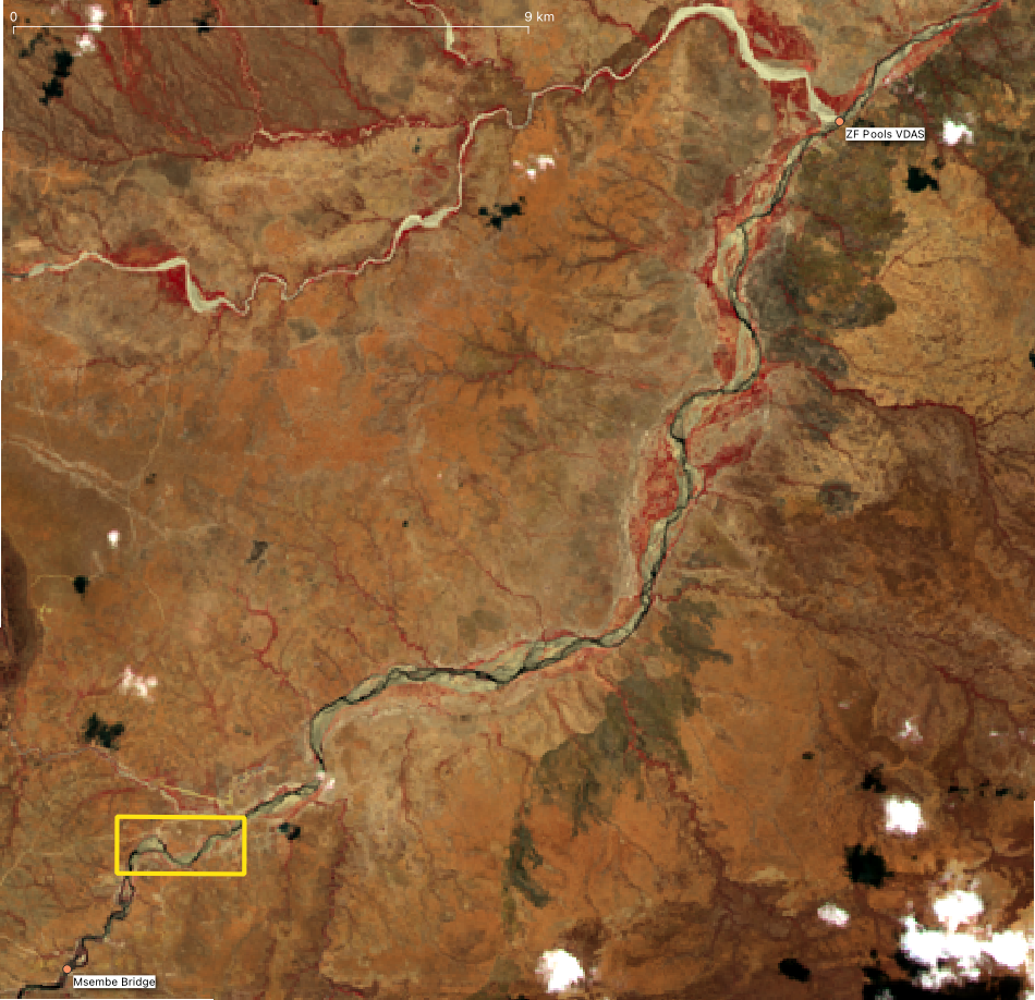


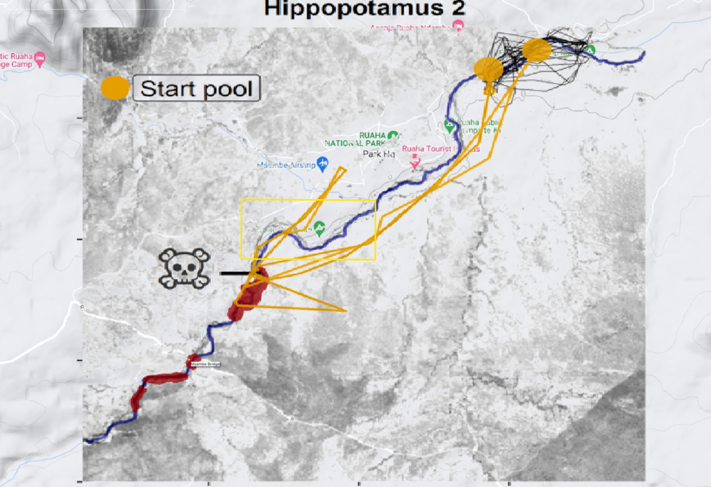
In 2016 Keenan Stears and his team studied26. the behavior and ecology of hippopotamus in the Ruaha Park in response to the reduced (zero) flow in the river. The GPS tracked animals were monitored. (see image below). The occurrence of anthrax possibly linked to the reduced flows further expanded their research. It will be interesting to investigate the length of the zero flow period or even its absence on the impact on aquatic life including the hippopotamus population.
Pool Status Monitor Zero Flow Period 2022
The recession of the flow out of the park from Mtera towards Msembe at 40km downstream of Park HQ.
In 2021 the recession of the reducing outflow in the Park, after drying at Mtera, showed drying of the Msembe to Mtera section of the Ruaha River. In three month time the front of the drying river retreated some 100km (as the bird flies) between Mtera Reservoir and the Msembe Bridge (Park HQ). Zero Flow at Mtera (Alert One) was observed on August 31, 2021 and the image of the dry Ruaha Riverbed with unconnected pools over the 100km stretch taken on December 29, 2021. The flow returned on January 3, 2022.
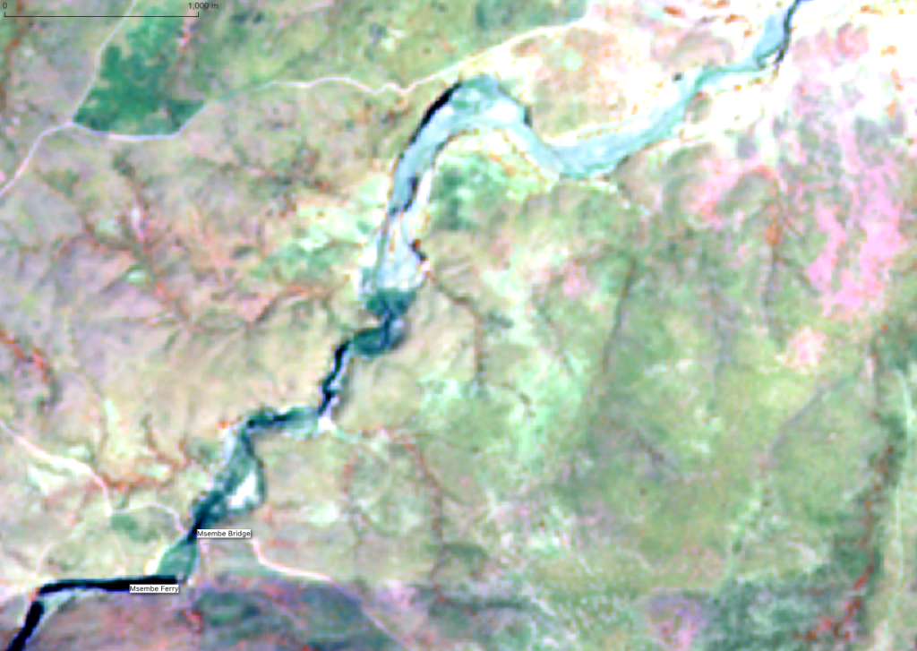
On August 11, 2022, the day the Ruaha dried 2km upstream of the Msembe Bridge (Park HQ) the recession of the surface flow downstream of the Msembe Bridge has reached 40km from the bridge. In a period of almost one month since the Ruaha dried at Mtera.
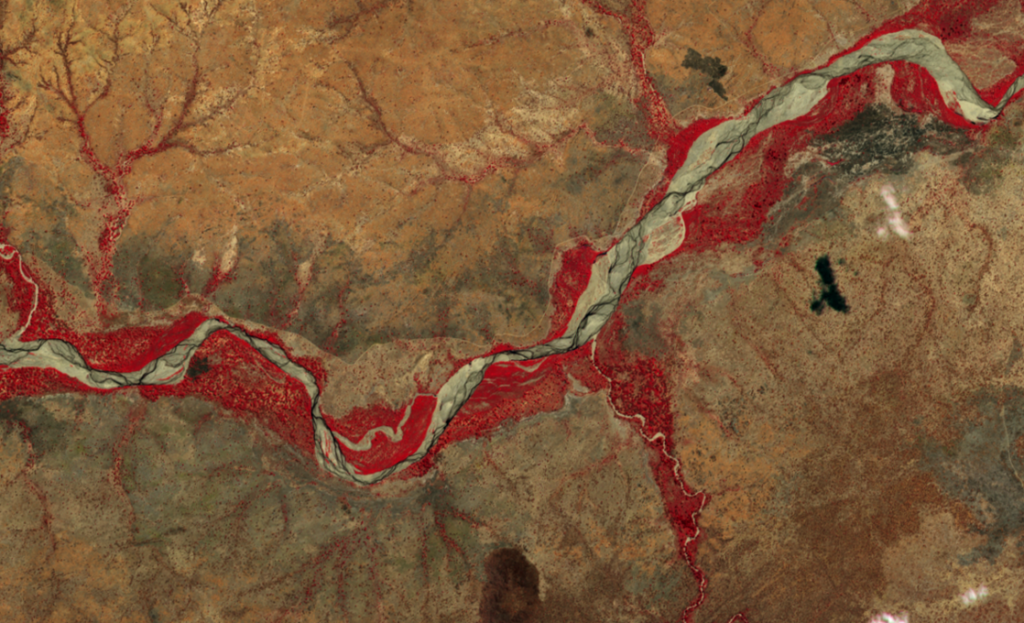
Alert Two at Mtera July 17, 2022
The first observation of zero flow at the virtual drainage assessment station (VDAS) used for detecting the flow status of the Ruaha River at Mtera is on July 17 2022.
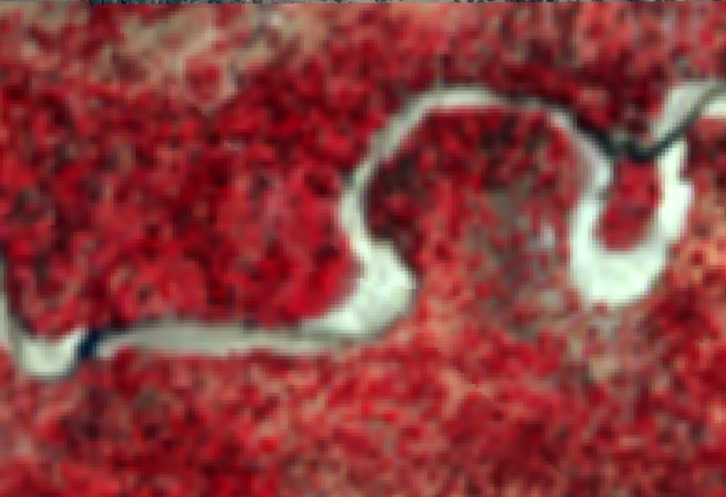
The flow pattern from flow in the Ruaha to zero flow at the VDAS has changed in 2022. Visit the 2021-2022 pattern here which pattern has been steady for a number of years.
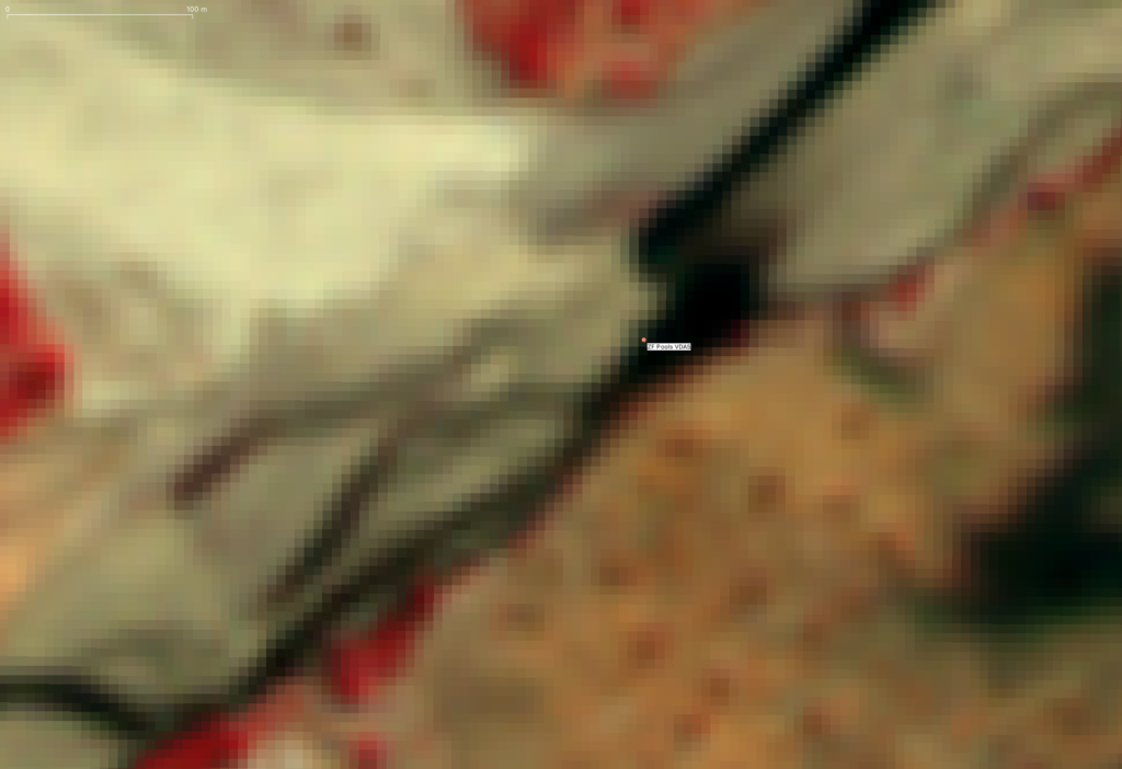
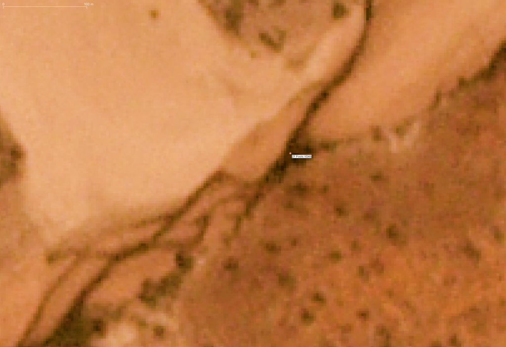
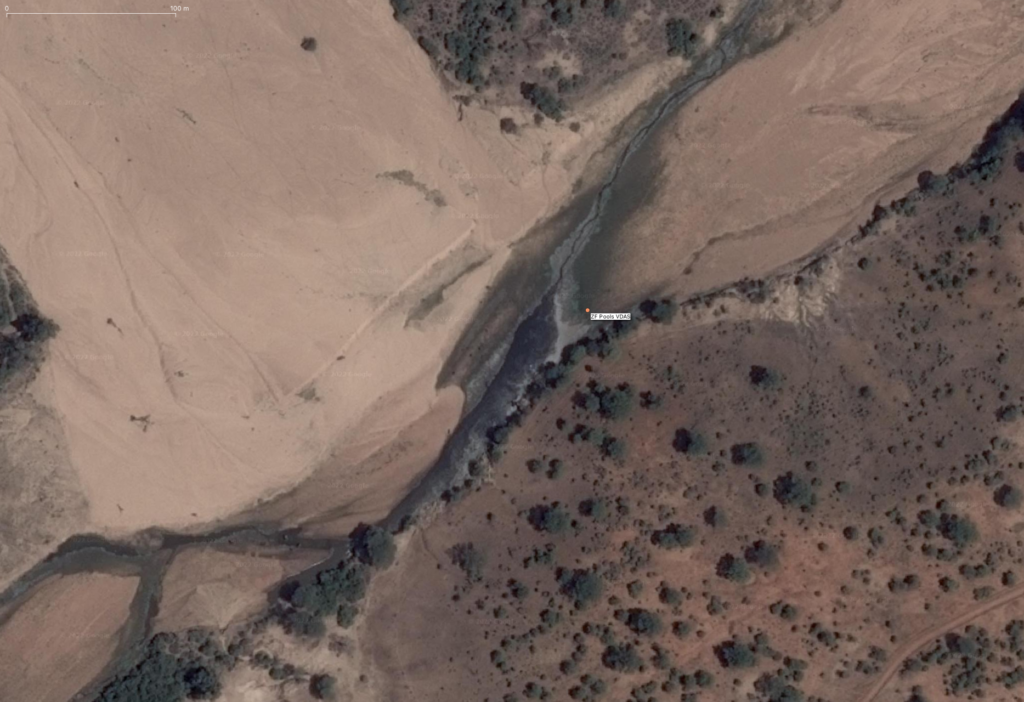
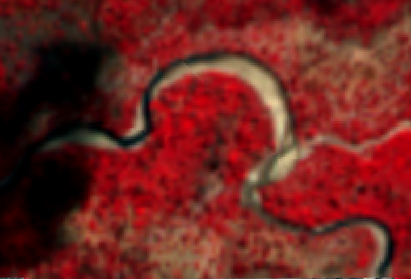
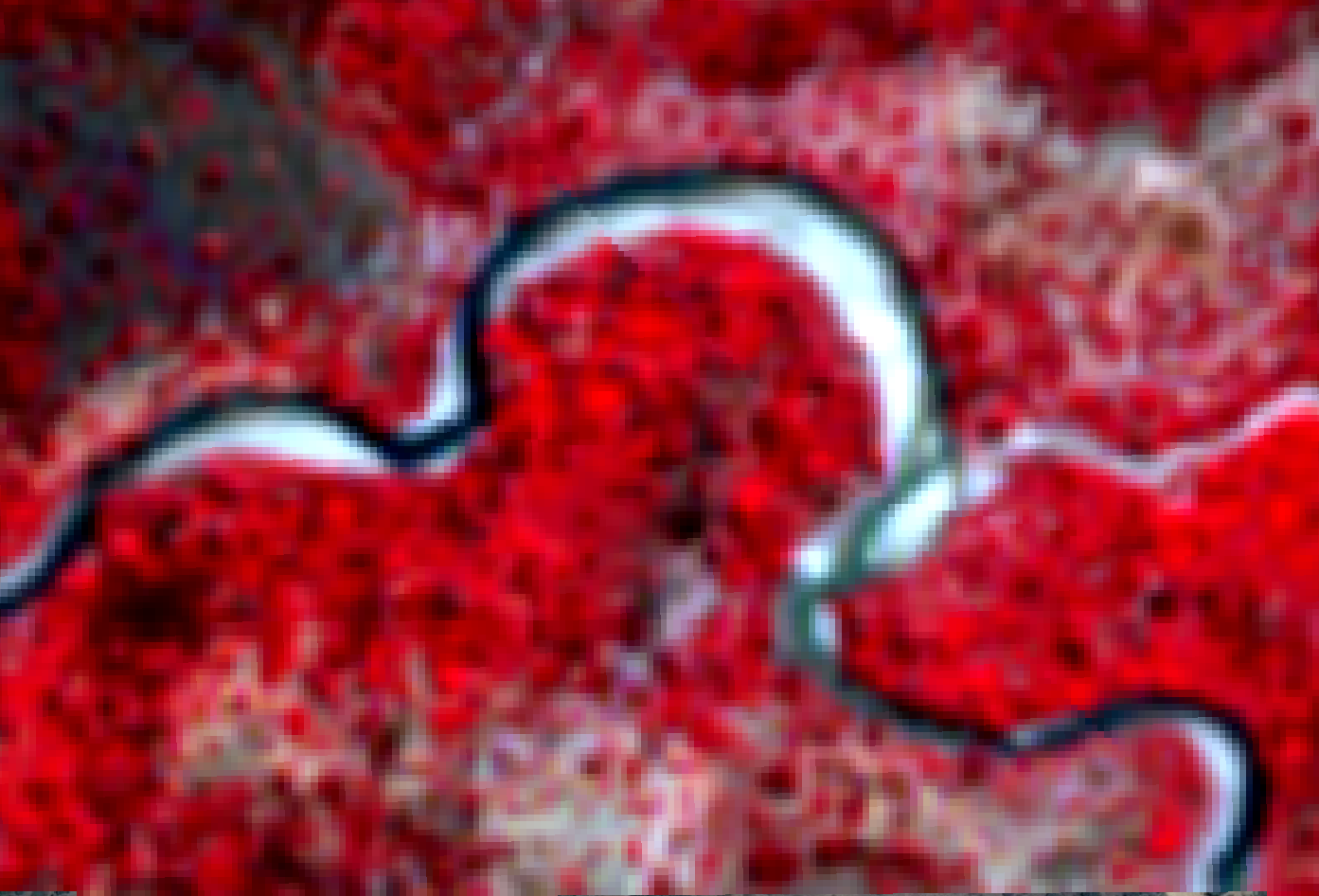
Below you can see the drying of the Ruaha close to the Mtera Reservoir and upstream of the confluence with the Little Ruaha River in a sequence of three images with newest image on top. (click images to enlarge)
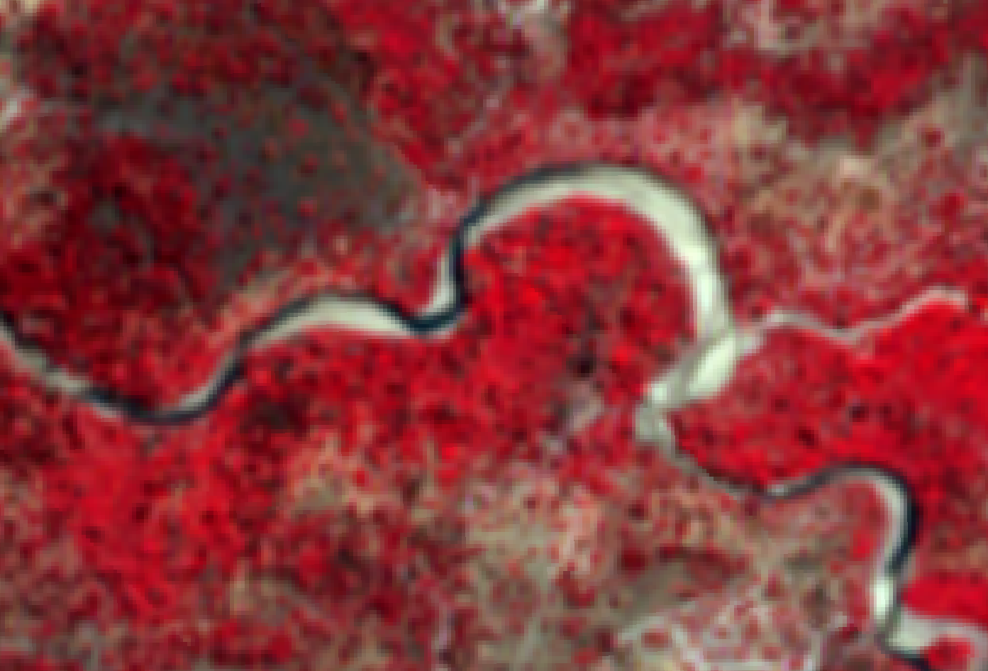
The Flow in the Ruaha at Alert One June 12, 2022
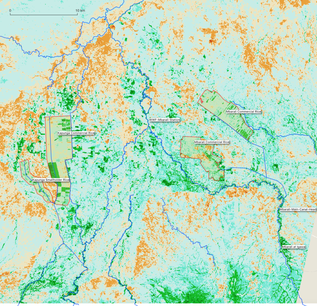
The NBR composite image gives an impression of the natural and irrigated crop “losses” (Dark green, green and dark blue) at the time Alert Phase One starts. There is adequate water in the system to boost drainage to the Ruaha National Park to delay the zero flow at the Park HQ.
First Alert at Mtera June 12, 2022
The First Alert for the Rufiji Basin Water Office to start following the water use in Kapunga and Ifushiro is announced on June 12, 2022.
