Low Flow Mbarali River
MENU
The newest post and image entries are on top of the page. Scroll from the bottom upwards to follow the flow status timeline of the Ruaha River per location
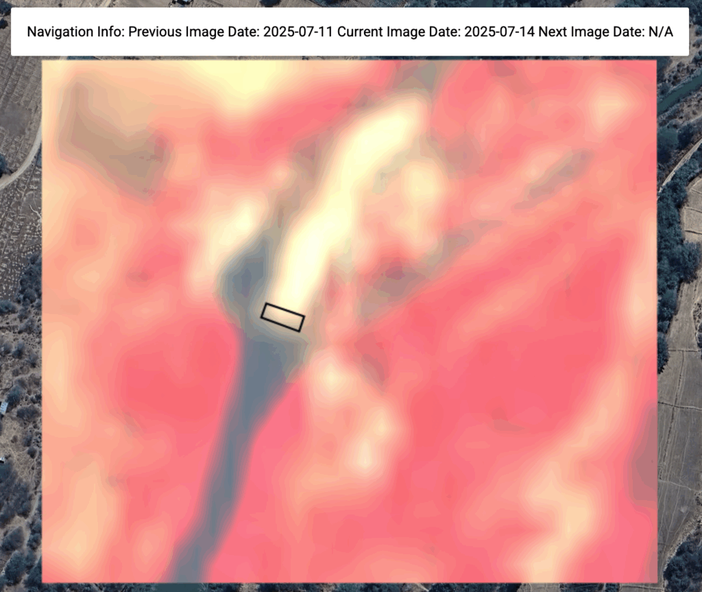
Mabarali River Dries at New NAFCO 2nd week of July, 2025
Two images below extracted from maji yetu interactive map show that between July 8 and July 14, 2025 all low flow from the Mbarali is diverted into the Mbarali Scheme main canal. The estimated flow is ~2 cumecs. at the time the weir overflow dries. For details about the image series visit the GEE map.

Overflow NewNAFCO weir almost dries June 28, 2027
Monitoring of the diversion of the low flow in the Mbarali can be done here. The stilling basin seems almost dry with the leakage through the sluice doors becoming vary small on June 28, 2025. The screenshot of the flow status at the moment one month later than the previous image.

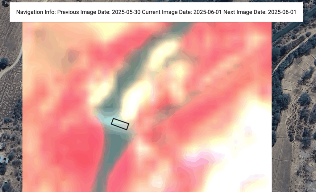
Flow at NewNAFCO Headworks more than ~2cumecs
The Google Earth Engine monitoring location at NewNAFCO recorded a declining flow since April 9, 2025 first monitor image). End of May some rains (May 27, 2025 image) increased the flow slightly (June 1, 2025). The flow still exceeds the assumed critical threshold level of 2cumecs when the weir at the headworks dries. For detailed explanation of the interpretation of the images look here.
The image below reflects the flow status at NewNAFCO/Mbarali on June 1, 2025 and shows the turbulent overflow over the weir and filled stilling basin.