Mbarali low flow for pre-irrigation
MENU
The newest post and image entries are on top of the page. Scroll from the bottom upwards to follow the flow status timeline of the Ruaha River per location
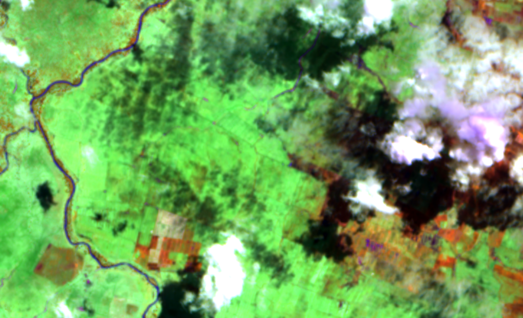
The images of November 12, 2023 record the initiated irrigation at Mbarali Farm with zero flow at the confluence which means all river water is diverted and utilised for pre-irrigation of the rice crop.

Mbarali River dries
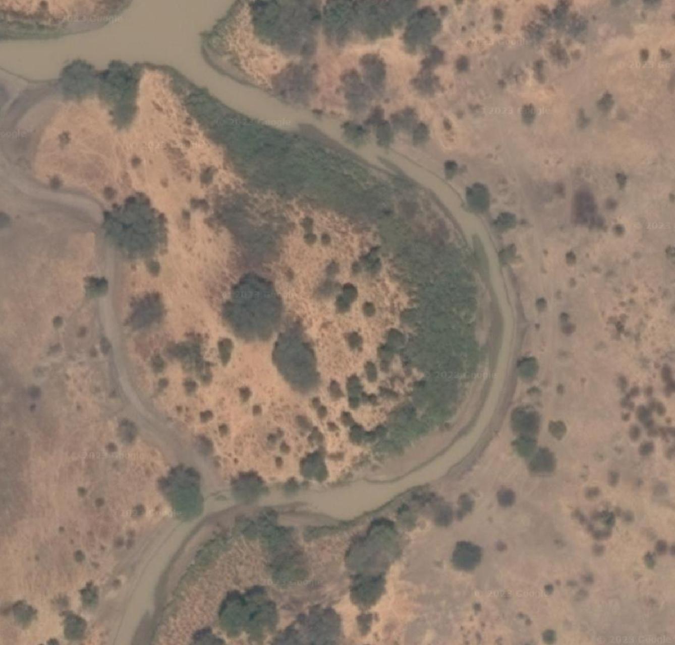
October 18, 2023 is assessed as the date on which the Mbarali River stopped flowing into the Great Ruaha River at the confluence. The confluence is about 220km from the Park HQ at Msembe. The image slide shows the sentinel-2 image with 5m resolution and the high resolution image of the dry Mbarali River coming from the south before it joins the Ruaha River flowing from East to West (left – right).
No Overflow at New NAFCO weir end of August and critically low flow in Mbarali River
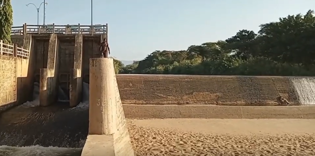
Around August 21, 2023, the overflow over the New NAFCO weir in the Mbarali River ceased. Check video on the procedure here.
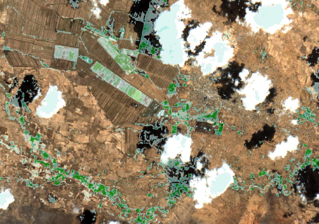
The Remote Analysis which resulted in the estimated date of August 21, 2023 for the drying of the Overflow at the New NAFCO weir (Mbarali) is summarised by two images after drying of the weir (gallery 1) and two images some two weeks before the drying of the weir (gallery 2).
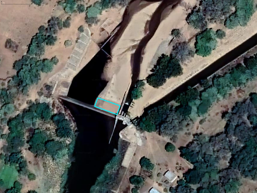
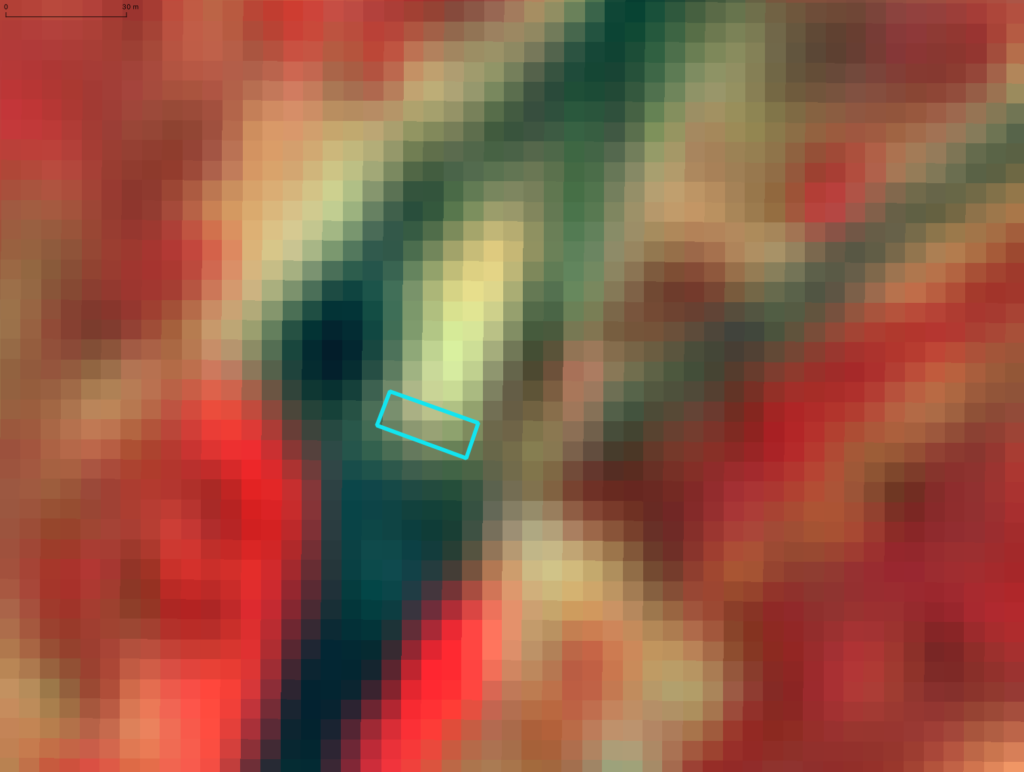
The georeferenced GIS layers in the first gallery, below represents “No Overflow”. The high resolution top view of the dry weir (no overflow) on December 26, 2021, illustrates the location of the stilling basin (blue box). The remote sentinel color infrared image (5m/px), on the left shows the same location on September 3. 2023. The stilling basin is dry (yellow). The dry stilling basin merges with the dry sediments of the image above.
The second gallery represents the flow status in the Mbarali River just before the ceasing of the overflow on August 1, 2023. The stilling basin is the remote registration of the merging of the dry sand (image above) and the dry bottom of the stilling basin (see high resolution image of December 26, 2021).
The flow in the Mbarali River has dropped to about 2 cumecs when the overflow stops, which is all diverted into the main irrigation canal. At least 1 cumecs should be returned through the return drain 4.6km downstream (as the bird flies).
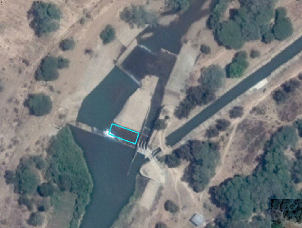

The leakage flow under the New NAFCO weir and through the sluice gates results in a critically low drainage flow in the Mbarali River. The remote satellite image of September 3, 2023 suggests a low flow resembling the flow status of September 14, 2017. That year the Ruaha dried at the Park HQ on September 23, 2017.


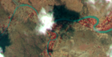
The Mbarali River on September 3, 2023 at the confluence with the Ruaha River Channel, seems to have more water than on September 14, 2017. Possibly from channels connected to the Ruaha River.

Drainage Flow Mbarali River
With most rice farms planted and under irrigation, the Mbarali River is still draining after leaving the irrigated area on May 16, 2023.
