The newest post and image entries are on top of the page. Scroll from the bottom upwards to follow the flow status timeline of the Ruaha River per location

Surface overflow advancing to Park HQ
The surface flow in the Ruaha River between N’giriama and Msembe (Park HQ) slowly advances. On January 8, 2023 there is still a section of the river 21.3km upstream of the Msembe Bridge with zero flow from the Ihefu Swamp while water supplied from local cachments already flows under the bridge.

The overflow from Ihefu Swamp still did not reach the Park HQ on January 6, 2023 (see image below) while flow downstream of the inlet at the Park HQ continued at least on January 3, 2023.

Zero Overflow Ihefu Continues in 2023
On January 2, 2023 zero overflow from Ihefu swamp continues, according to Landsat 8 image of same section of the Ruaha River as the Sentinel-2 image below of December 17, 2023. The Ruaha River section is 9.7km downstream from the N’giriama Sill (as the birds flies).
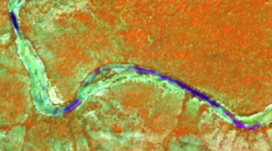
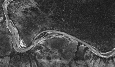
The drainage from the Usangu Rice Plain is still not adaquate on December 17, 2022 to reach the outflow of the Ihefu Swamp, although abstraction for rice irrigation seems to increase according to the expanded inundated area at the two main irrigated schemes on the Usangu Rice Plain

Although cloud cover suggest the arrival of the rains Overflow of Ihefu Swamp still absent on December 12, 2022 concluding from the isolated pools 7.3 km downstream (as the birds flies) of the Ngiriama Outlet.
The previous post (below) with hope for return of the overflow from the swamp proves futile on December 7, 2022 with suspected traces of growing pools of water (trickle surface flow) 11 km downstream of the N’giriama Sill Outlet of the swamp vanished on December 7, 2022. Compare images on both dates below.


Trickle of Overflow Ihefu Swamp
The modest rains which started November 2022 have increased the flow in the Ruaha River which has now passed the Ihefu Swamp and trickle over the N’giriama Sill at the out let. This is concluded from the “Land and Water” composite of Sentinel-2 bands (20m/px) which show growth of the pools 11km downstream of N’giriama. The first image below is from November 29, 2022 and the second is taken with zero overflow from the swamp on November 17, 2022. The trickle at N’giriama is not yet enough to reach the Park Headquarter 63km downstream (as the bird flies).


Zero Overflow Ihefu Swamp
The rains mid-November 2022 which were adequate to get the drainage from the Usangu Rice Plain flow again, have not been adequate for overflow from the Ihefu Swamp, concluding from the November 17, 2022 satellite images (below). The zero (over)flow from the swamp is demonstrated by the image from the Ruaha River section, some 40km downstream of the N’giriama Outlet.

Burned Ihefu Swamp November 2022
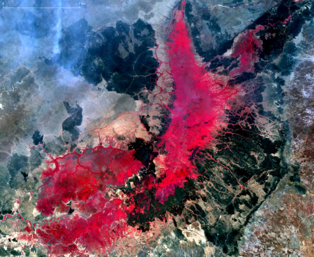
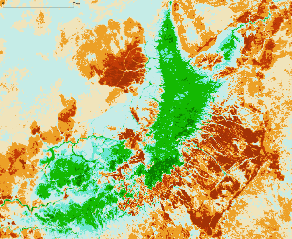
Every year with the reduced, to zero inflow, in the swamp, the vegetation is burned. With the bare plains and inadequate fodder for the herds it is probably the cattle owners, who burn the swamp vegetation for regrowth of grass. Compare the infra red image below with the NBR composite image immediately following.
Overflow Ihefu Swamp receding to N’giriama
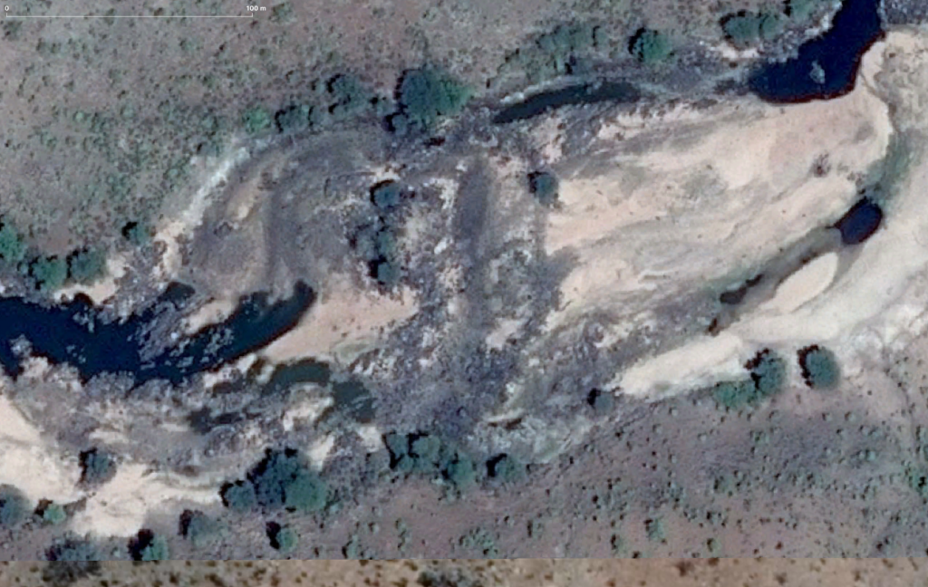
The recession of the surface flow of the Ruaha which started some 222km downstream as the Ruaha River dried at Mtera mid-July 2022 has now reached the N’giriama Sill on September 18, 2022 some two months later. The high resolution image of the Ruaha River 7.5km downstream of the sill of August 23, 2021 still shows some overflow over the sill which is in the south. The three channels draining water from the pool at the bottom of the image. The next sentinel-2 image of September 18, 2022 with 5m resolution suggests the channels do not hold anymore water or very minor flow.
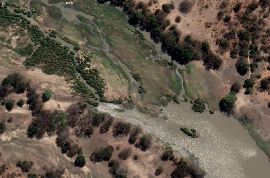
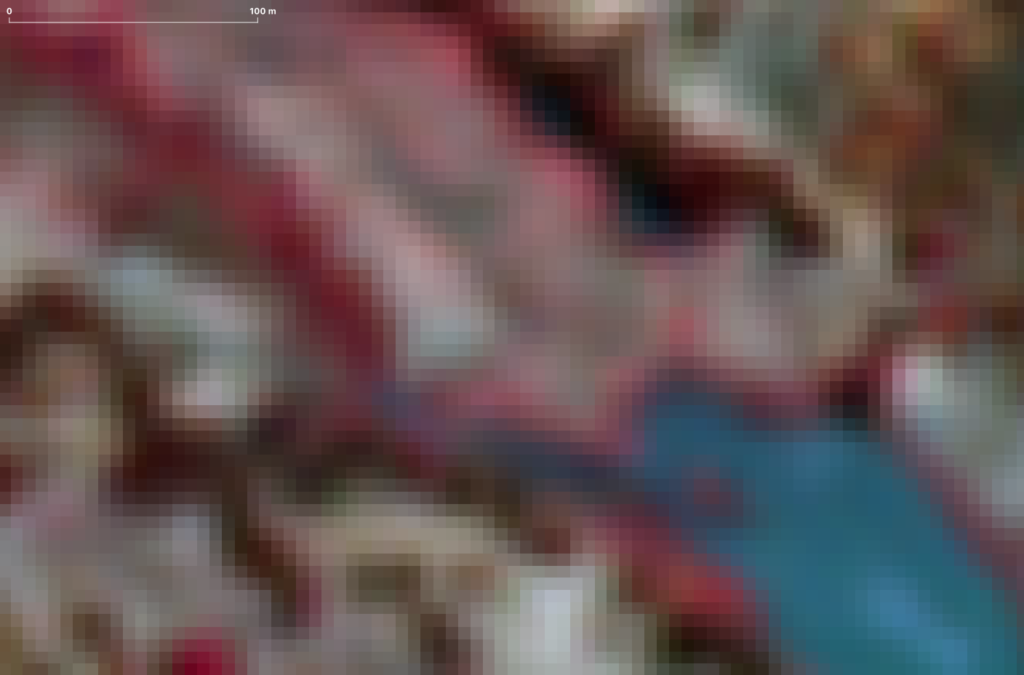
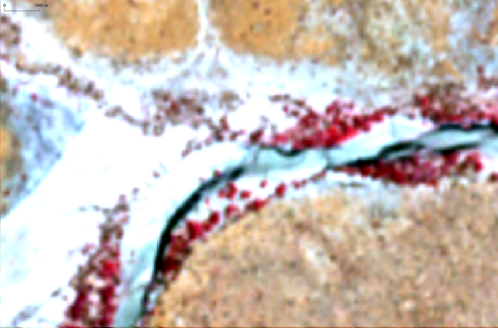
With zero flow 2 kilometers upstream of the Msembe Bridge (ParkHQ) on September 5, 2022 the Ruaha surface flow has now receded between N’giriama and the Idodi VDAS 40 km upstream of the N’giriama Sill.
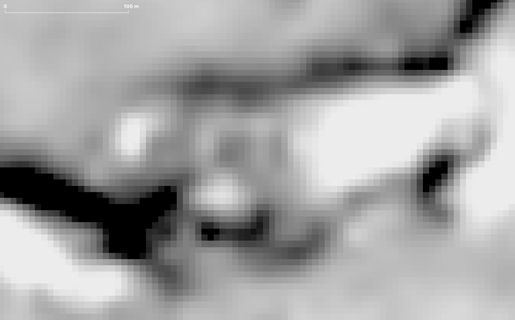
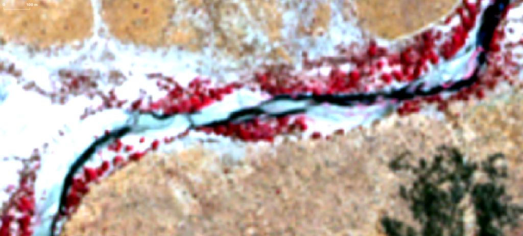
Zero Flow at Ruaha Park HQ on August 21, 2022
Zero flow is assessed at the Ruaha Park HQ on August 21, 2022. The related image is found here
Zero Overflow N’giriama not yet stable 2022
In the absence of a clear remote observation of zero flow at the Msembe Bridge the flow status of the overflow from Ihefu is checked on August 16, 2022 and flow reduction between August 11, 2022 and August 16, 2022 is not observed in this period.

Overflow N’giriama becomes zero 2022
The overflow from the Ihefu swamp at the N’giriama Sill is currently measured by the Ministry of Natural Resources and Tourism. The flow monitor monitors extremely low flow and zero flow to verify the predictions and observations at downstream VDAS locations. And to timely alert the authority based on the flow status on the ground.
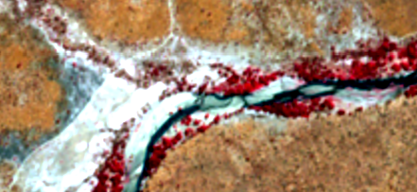
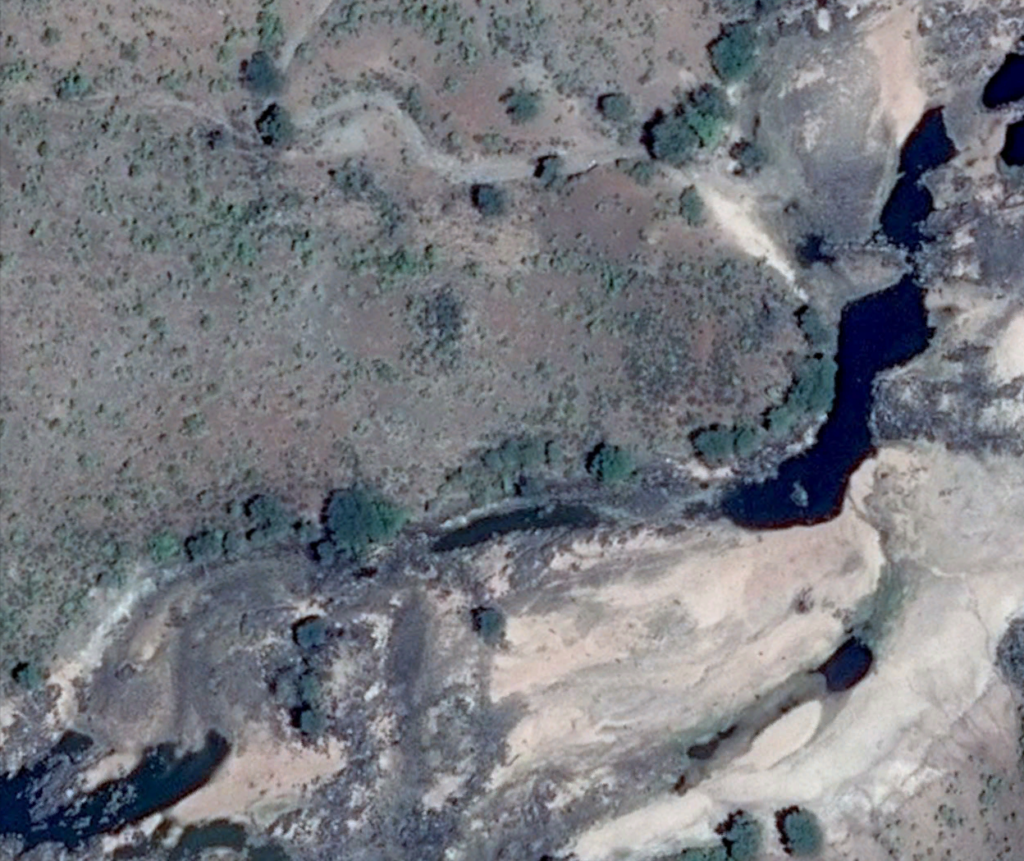
The flow at the N’giriama bedrock which dams the drainage water from Ihefu like a weir, is searching channels in the rock to rush down the slope. The high resolution image below is taken on August 23, 2021. The small turbulent passage compares with the 10m/px near infrared image one day later. Zero flow that year kicked-in on November 15, 2021. Assessment of the relation of the flow at the N’giriama Sill and the downstream VDAS at idodi and ultimately the zero flow at Msembe Bridge (Park HQ) in 2021, reveals that as expected zero overflow from the Ihefu Swamp will reduce due to “natural losses” and dry (zero flow) first close to the Msembe Bridge first. At the same time still a trickle will may overflow from the swamp and at some sections where subsurface flow adds up to the Ruaha River flow.


Overflow Ihefu at Idodi Section Ruaha

