Increased River Flow abstracted no overflow Ihefu
MENU
The newest post and image entries are on top of the page. Scroll from the bottom upwards to follow the flow status timeline of the Ruaha River per location
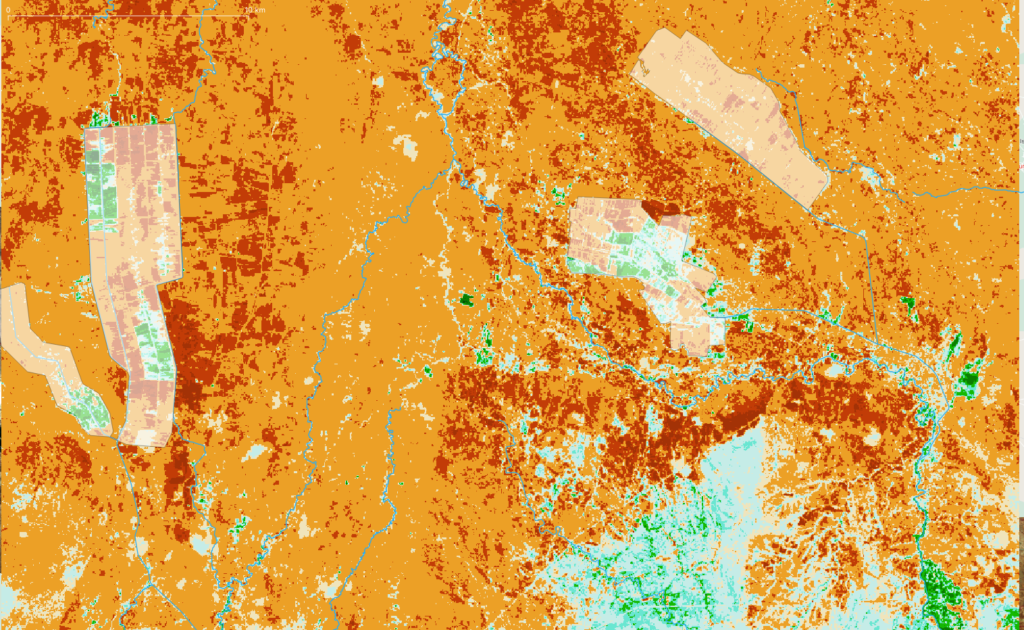
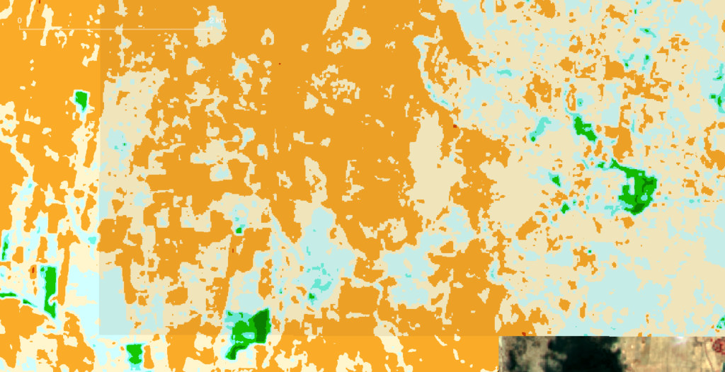
The considerable increase of irrigated area on January 2, 2023 as compared to the December 17, 2022 irrigated area is enabled by the first rains allowing more abstraction from the Mbarali and Ruaha Rivers (green and light blue colors in irrigated area). On the same day as the NBR composite image below (Landsat 8) of January 2, 2023 the drainage from the Usangu Rice Plain together with possible supplies from tributaries does not suffice yet to reach the N’giriama outlet of the Ihefu swamp.

Increased Rice Irrigation from the two main diversion weirs at Kapunga (Ruaha River and New NAFCO (Mbarali River) respectively the left and right highlighted (white) areas on the image below, seems to benefit from the increased flow in both rivers while the Drainage flow from the Usangu Rice Plain does not suffice to cross the Ihefu Swamp.
Usangu Rice Plain experiences very dry season 2022
It is expected that there is some more water in the Ruaha but still inadequate to launch the rice irrigation season. The 1 to 2 cumecs abstracted in Usanga for selected group of farmers (light blue and tones of green) in the highlighted (redish) Kapunga Commercial Farm would boost drainage to the water starved Ruaha National Park.
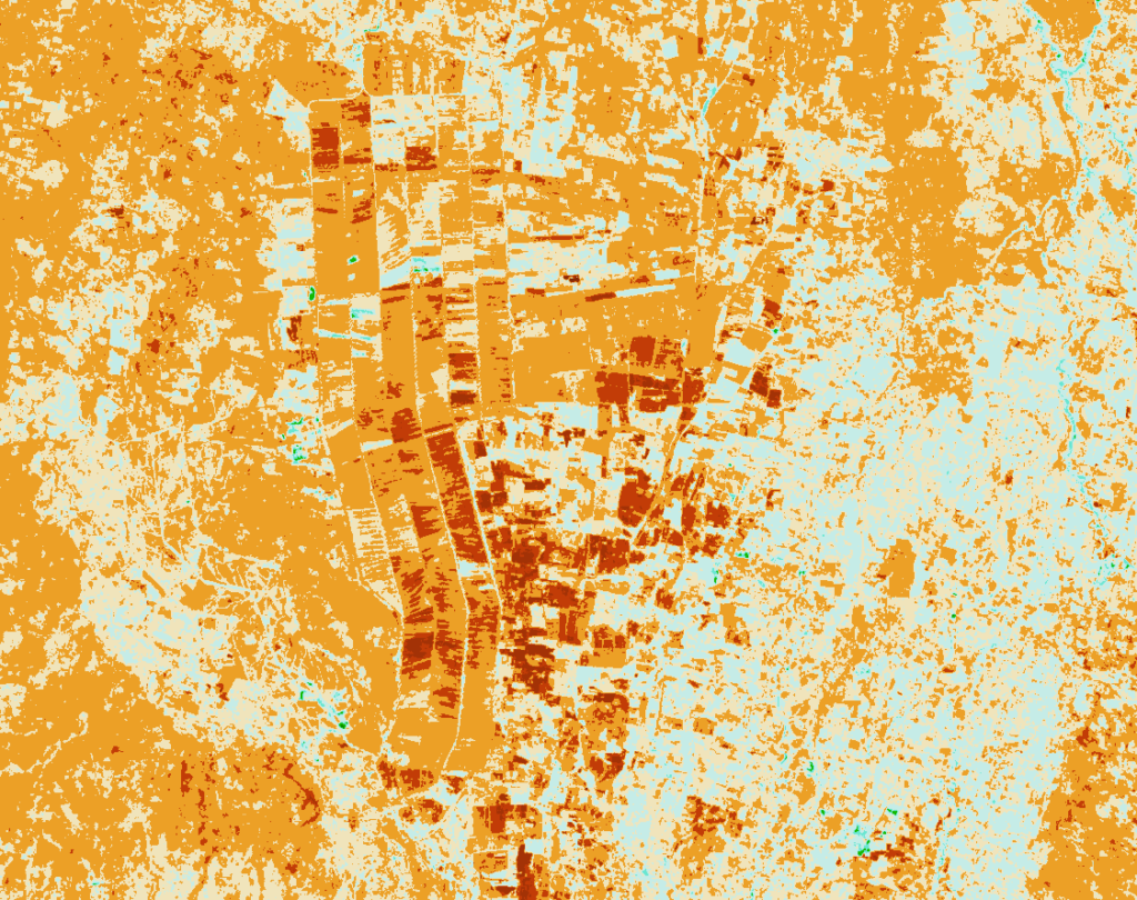
Start Zero Flow Period Park HQ 2022 – 2023
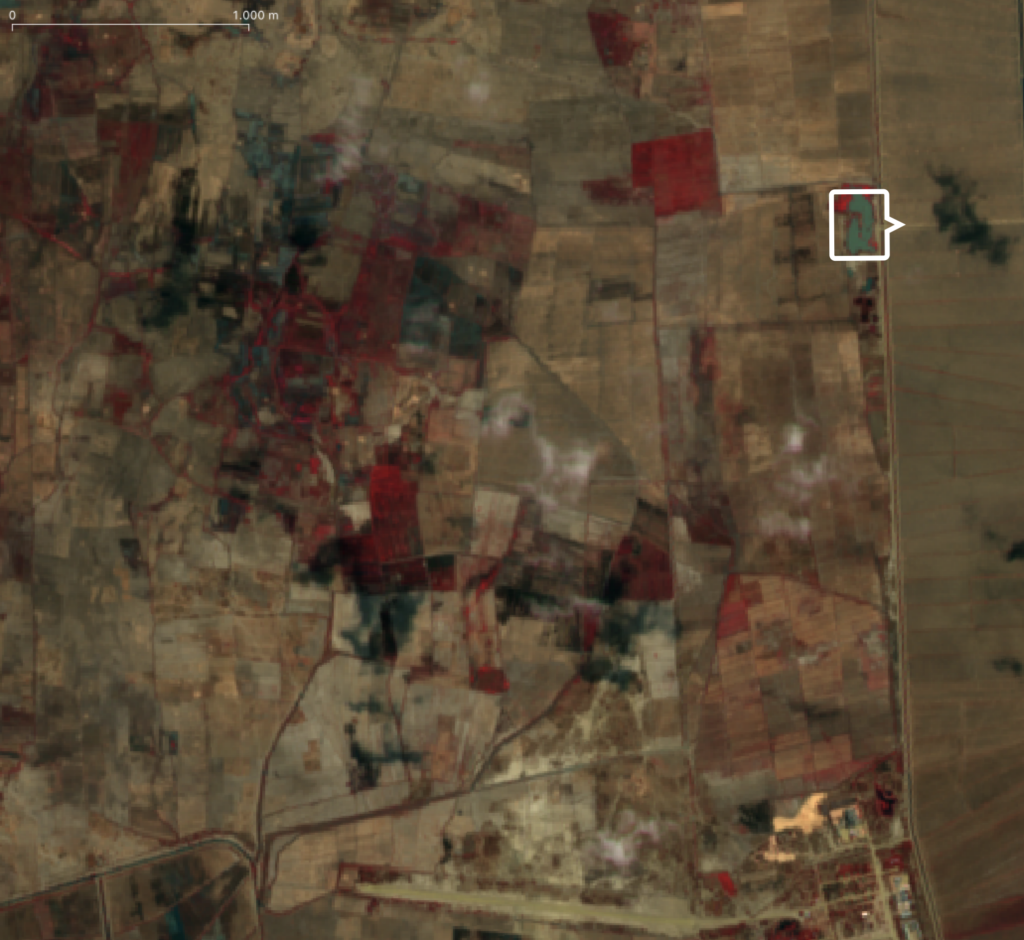
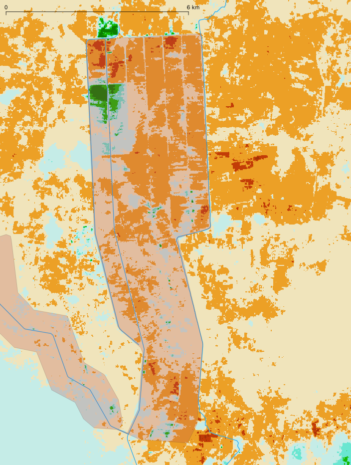
With the start of zero flow period at Msembe Bridge (Park HQ) irrigation and spill in the Usangu Rice Plain is due to the low flow limited to mostly spill. The Kapunga Smallholder and Kapunga Commercial Scheme have been indicated and to the west spill in the uncontrolled canal network of Ifishiro also low areas with spill can be detected on August 21, 2022.
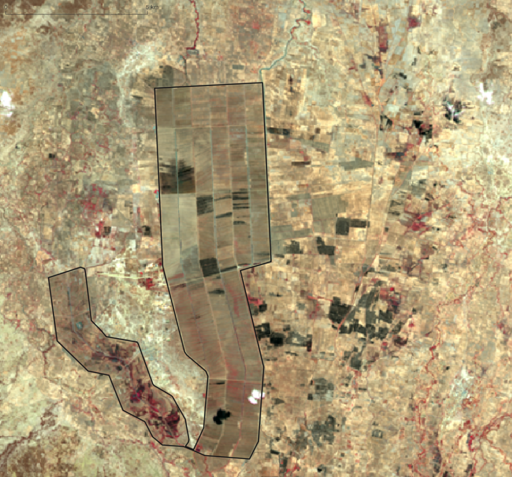
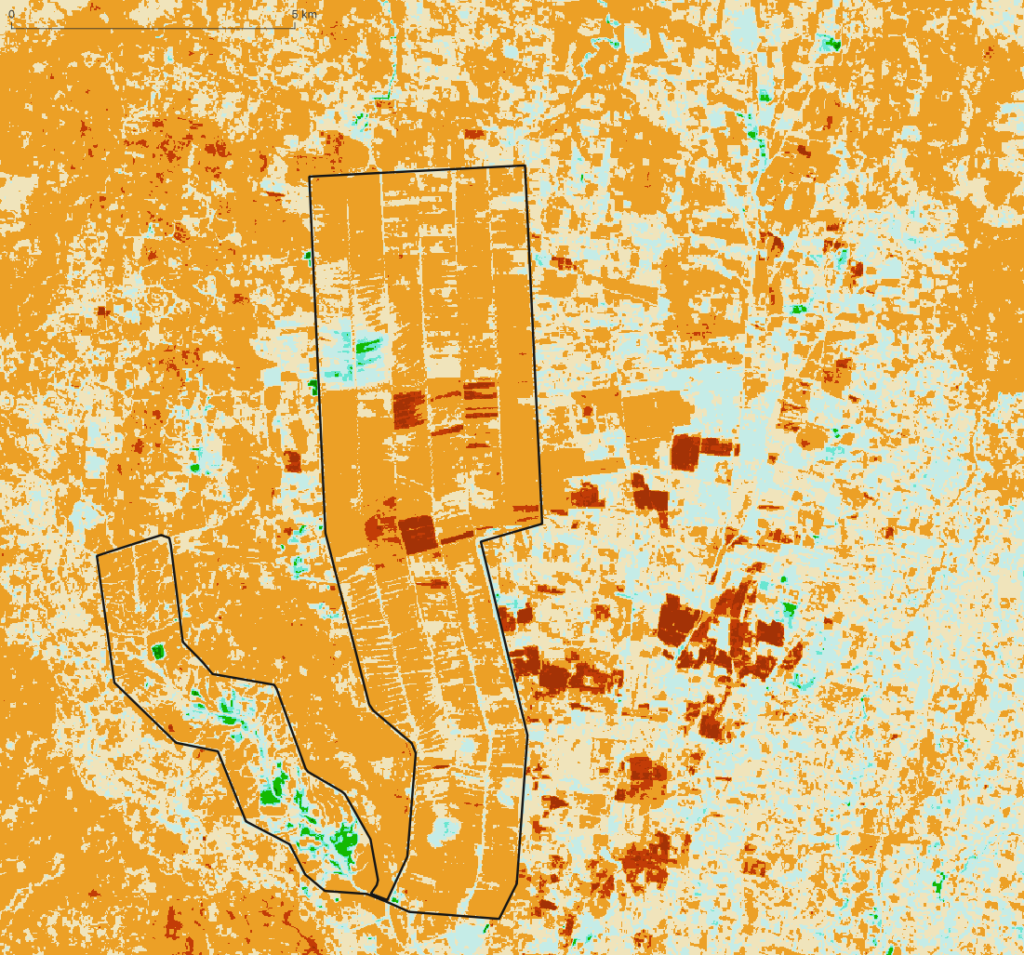
Usangu Diversion and Spill August – July 2022
The use and spill of river water during the low flow period in the Ruaha River at Kapunga and Ifishiro Rice Plain and Diversion of the Mbarali River at New NAFCO Intake is monitored. The Ruaha Flow Monitor finds Irrigation and Spill hotspots and the authority will need to follow up on these hotspots. In case irrigators do not have the required permit to abstract or spill is the result of neglect both losses will be easy to recover for drainage to the park. Increased drainage during the critical low flow period (Three Alert Phases) will prevent or reduce the period of zero flow in the Ruaha Park (Park Headquarter).
With very limited time left to boost drainage before it is too late to prevent zero flow at the Park HQ, which will start within one to two weeks from now (August 11, 2022), limited resources are left, to adequately improve the low flow in the Ruaha River in the Park. Early drainage increase measures (during Alert One) will be required to delay the start of the zero flow period. With timely start of the rains and timely start of drainage management measures, zero flow can be avoided. On August 4, 2022 some spill hotspots are demonstrated using RS. (see two images below for August). For more details about the tracking down of (uncontrolled) Irrigation, Spill and Riverine “losses” click here.
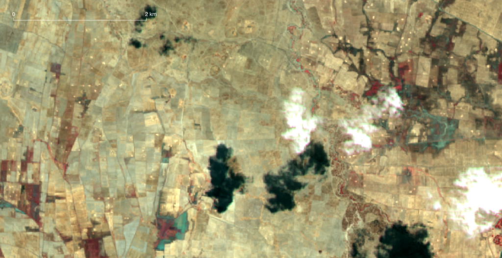
Irrigation and Spill with Alert 3 announced on July 30, 2022
Currently (July 2022) an irrigated area in the Ifushiro section of the Ruaha should be questioned already deep into the alert (phase) 2 and on the day alert alert (phase) 3 is announced.
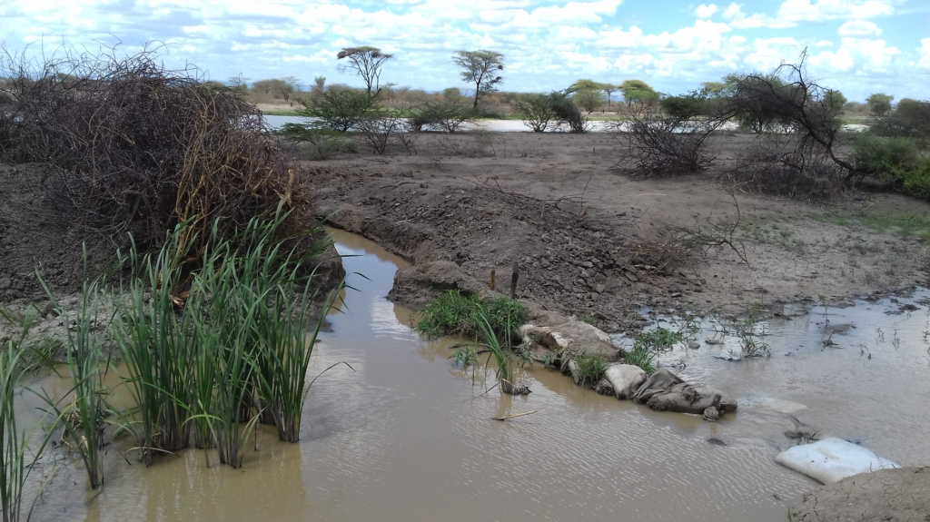
Water is supplied by a branch of the Ruaha.
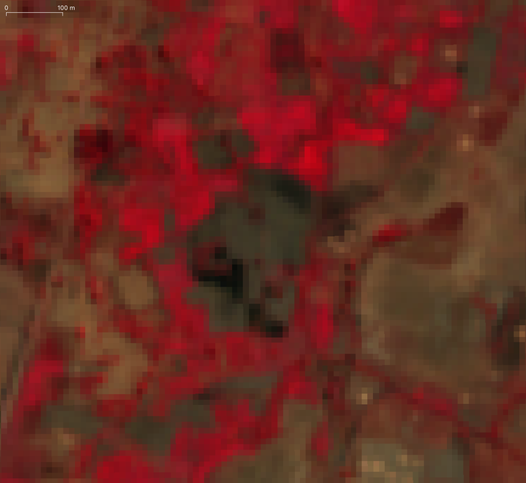
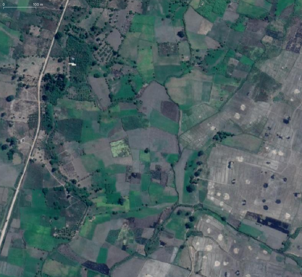
The practise of having water in the drainage system of the major rice schemes can be considered as loss as long as this water is not return flow to the Ruaha or Mbarali Rivers. Even if it the drains are used to return water to the main river channels abstraction of water from the drains should be avoided. Not only is registration and management of such diversions difficult, it also provides a precedent for illegal use of water by others. These “informal improvisations” in the system can often be associated with spill especially in the Ifushiro area where natural depressions, are likely to fill and become hotspots for spill each low flow season.
