MENU
The newest post and image entries are on top of the page. Scroll from the bottom upwards to follow the flow status timeline of the Ruaha River per location
Last Updated 3 days ago
ALERT 2 — 30 Aug 2026 zero flow confirmed
30 August 2026 — Drying at Mtera Reservoir inflow confirmed by A2 joint-population observation.
30 August 2026 — A2 reaches zero-core state at Mtera inflow
Sentinel-2 observations on 30 August show the A2 residual channel at the Ruaha River inflow to Mtera Reservoir reaching a zero-core state. The frozen joint-population classifier detected 0 core-water points out of 255 in both TOA and SR imagery, while 12 transition points remained.
This zero-core observation is a late-stage indicator of channel drying and does not mean that Zero Flow first occurred on 30 August. The subsequent 4 September 2026 analysis confirms the earlier suspected Zero Flow Observation (ZFO) of 4 August 2026, when the surface-water channel was already considered interrupted and only disconnected or stagnant residual water remained.
The distinction is important: Zero Flow refers to the cessation of continuous surface flow, not to the disappearance of all water or shallow-water pixels. Residual pools can remain after flow has ceased. The 30 August zero-core observation therefore provides later joint-population evidence consistent with the earlier 4 August ZFO rather than defining the ZFO date itself.
This conclusion applies specifically to A2 at the Ruaha River inflow to Mtera Reservoir. It does not establish Zero Flow at Park HQ or Msembe, which require their own observations.
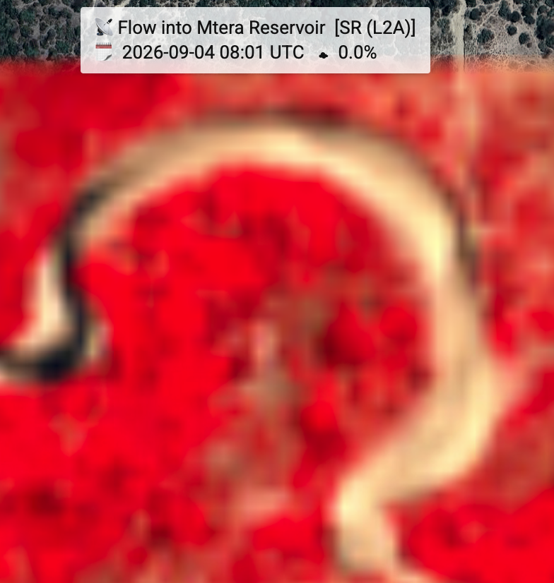
ALERT 2 — zero-core condition detected, 30 Aug 2026
Sentinel-2 TOA and SR joint-population classification both indicate zero core-water pixels at A2 on 30 Aug, marking the computed A2 zero-core endpoint. A small residual transition population remains, so this result represents loss of the persistent core rather than absence of all spectrally wet pixels. Confirmation is pending from the next Sentinel-2 acquisition, expected around 4 Sep.
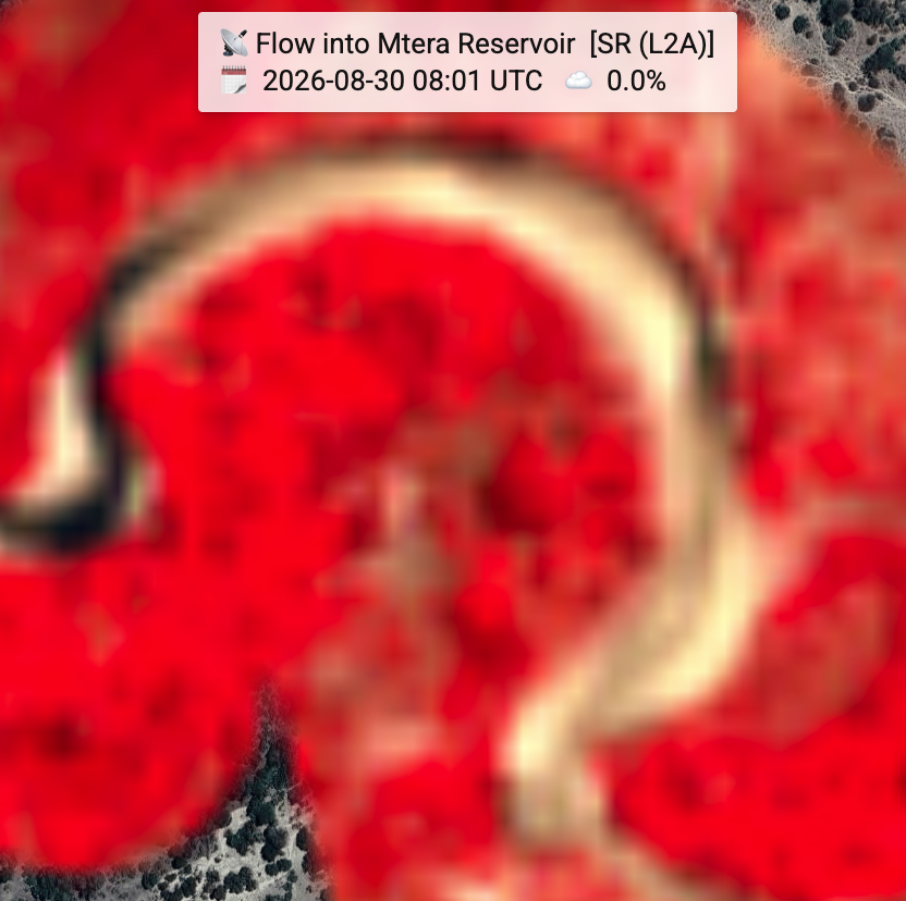
ALERT 1 GEE-TimeSeries Script on July 21, 2026
The forecast model (2026) has a threshold of 0.010sqkm2 which is crossed today. Comparison of the various forecast methods also include the linear regression forcast based on 2025-2026 non-overlapping periods and predicts June 28, 2026 as Alert1 date. The visually inspected zero flow at the Mtera VDAS will reveal the most accurate method.
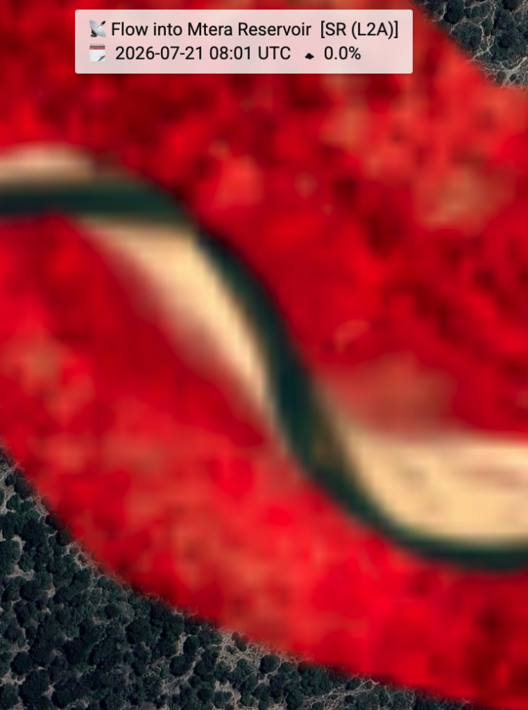
Alert 1 for 2026 started June 23
The 2025 Google Earth Engine (GEE) workflow identified 0.012 km² as the historical Alert 1 reference threshold from seven years of Sentinel-2 observations.
During 2026, Sentinel-2 NDWI reached this threshold on 21 June (0.01204 km²) and declined below it on 23 June (0.01086 km²), providing the first observed satellite evidence of Alert 1 conditions. Sentinel-1 SAR indicated an earlier decline between 4 and 5 June, but because SAR has a coarser spatial resolution and serves primarily as an operational backup during periods of persistent cloud cover, the Sentinel-2 NDWI observations are retained as the principal observational reference.
The operational Alert 1 forecast used by the Alert1 pipeline is generated independently from the A1_best_area prediction model. The observed Sentinel-2 threshold crossing is therefore used to evaluate model performance and timing, rather than to define the forecast itself. Check the interactive graph, “Ruaha River flow drops to ALERT 1 in 2026”. June 23, 2026 is adopted as first observed Alert 1 date.