MENU
The newest post and image entries are on top of the page. Scroll from the bottom upwards to follow the flow status timeline of the Ruaha River per location
Last Updated 2 days ago
Limited Pre-Irrigation at Kapunga waiting for Seasonal Rains
Machine observation
At Nyaluhanga, about 6 km downstream of Kapunga, satellite mapping shows the channel area decreasing from 1.020 ha on 2 October to 0.923 ha on 11 November.
That is a fall of about 9.5%.
On the marked cross-channel transects, eight map pixels span about 40 m.
At a comparable transect, the observed decrease suggests the channel may have narrowed by roughly 4 m, from about 40 m to 36 m.
At Kapunga, current mapping indicates only modest irrigation activity.
An estimated flooded and spilled area of around 5% of the roughly 4,000 ha scheme—about 200 ha—is a small share and does not indicate adequate water supply.
At this stage, some rice fields are often watered by pumping from drainage channels.
The river is at its minimum end-of-dry-season level at the headworks, limiting the supply available to the main canals.
Regular satellite revisits of the pre-irrigated fields and Usangu rice-scheme drainage channels will track changes.
Increasing flooded and pre-irrigated areas, a widening Nyaluhanga channel, and rising rainfall together would provide an early indication that seasonal flooding is arriving.
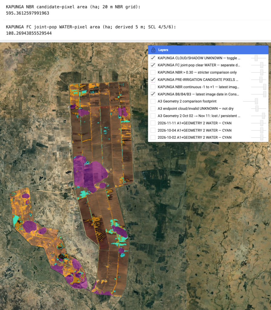
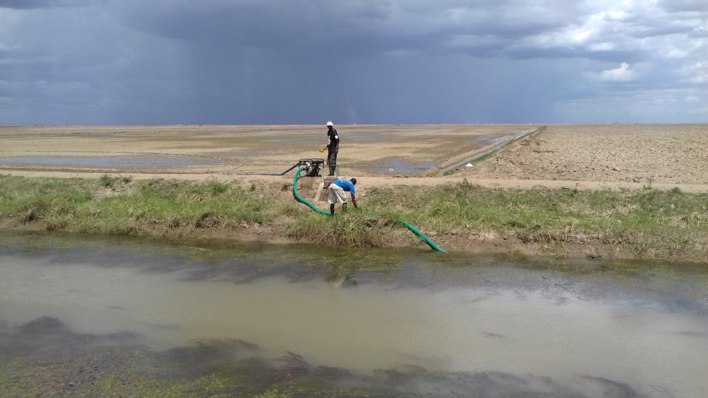
Pre-IRR Kapunga with critical flow in Ruaha and imminent zero flow Ruaha River at Park HQ
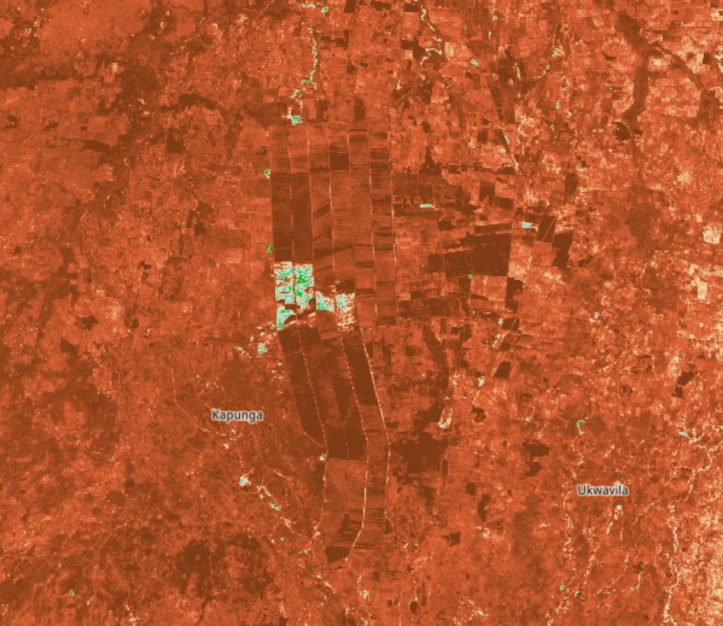
Kapunga Intake on August 5, 2026 and HR Nov 10, 2023
On November 10, 2023, the Ruaha River flow dropped under the critically low flow level (zero flow at Ruaha Park HQ Oct. 17 2023). The first rice nurceries are created and whatever could be diverted from the Ruaha River into the main canal is seen on the HR image below.
Also inspect the flow on August 5 2026 where the Ruaha still holds above the critical low level (first zero flow observation is imminent at Mtera). At which stage reduction is of outmost importance (Alert2)


